Distance to Big Bend of the Colorado State Recreation Area, Nevada

Calculating Your Route
Just a moment while we process your request...
Location Information
-
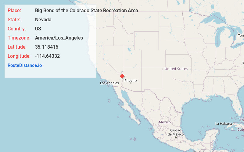
Full AddressBig Bend of the Colorado State Recreation Area, 4220 Needles Hwy, Laughlin, NV 89029
-
Coordinates35.1184164, -114.64332
-
Street4220 Needles Hwy
-
LocationLaughlin , Nevada , US
-
TimezoneAmerica/Los_Angeles
-
Current Local Time2:16:15 PM America/Los_AngelesTuesday, June 17, 2025
-
Page Views0
About Big Bend of the Colorado State Recreation Area
This park along the Colorado River, with canyons & washes, offers boating, fishing & swimming.


Nearby Places
Found 10 places within 50 miles

Laughlin
5.2 mi
8.4 km
Laughlin, NV 89029
Get directions

Mojave City
5.2 mi
8.4 km
Mojave City, AZ 86442
Get directions

Bullhead City
6.6 mi
10.6 km
Bullhead City, AZ
Get directions

Davis Dam
6.9 mi
11.1 km
Davis Dam, Bullhead City, AZ 86429
Get directions

Fort Mohave
7.3 mi
11.7 km
Fort Mohave, AZ
Get directions

Katherine Landing
8.2 mi
13.2 km
Katherine Landing, Katherine, AZ 86429
Get directions
Mesquite Creek
11.3 mi
18.2 km
Mesquite Creek, AZ 86440
Get directions
Mojave Ranch Estates
12.5 mi
20.1 km
Mojave Ranch Estates, AZ 86440
Get directions

Mohave Valley
13.2 mi
21.2 km
Mohave Valley, AZ 86440
Get directions

Willow Valley
14.4 mi
23.2 km
Willow Valley, AZ 86440
Get directions
Location Links
Local Weather
Weather Information
Coming soon!
Location Map
Static map view of Big Bend of the Colorado State Recreation Area, Nevada
Browse Places by Distance
Places within specific distances from Big Bend of the Colorado State Recreation Area
Short Distances
Long Distances
Click any distance to see all places within that range from Big Bend of the Colorado State Recreation Area. Distances shown in miles (1 mile ≈ 1.61 kilometers).