Distance to Davis Dam, Arizona

Calculating Your Route
Just a moment while we process your request...
Location Information
-
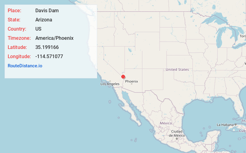
Full AddressDavis Dam, Bullhead City, AZ 86429
-
Coordinates35.1991655, -114.5710766
-
LocationBullhead City , Arizona , US
-
TimezoneAmerica/Phoenix
-
Current Local Time3:20:09 AM America/PhoenixFriday, May 23, 2025
-
Page Views1
About Davis Dam
Opened in 1951, this hydroelectric dam on the Colorado River creates boating standby Lake Mohave.


Nearby Places
Found 10 places within 50 miles

Katherine Landing
1.5 mi
2.4 km
Katherine Landing, Katherine, AZ 86429
Get directions

Laughlin
2.2 mi
3.5 km
Laughlin, NV 89029
Get directions

Bullhead City
5.0 mi
8.0 km
Bullhead City, AZ
Get directions

Fort Mohave
12.3 mi
19.8 km
Fort Mohave, AZ
Get directions

Oatman
16.0 mi
25.7 km
Oatman, AZ
Get directions

Mesquite Creek
16.1 mi
25.9 km
Mesquite Creek, AZ 86440
Get directions
Mojave Ranch Estates
17.8 mi
28.6 km
Mojave Ranch Estates, AZ 86440
Get directions

Mohave Valley
18.4 mi
29.6 km
Mohave Valley, AZ 86440
Get directions

Cal-Nev-Ari
19.1 mi
30.7 km
Cal-Nev-Ari, NV 89039
Get directions

Golden Valley
19.7 mi
31.7 km
Golden Valley, AZ 86413
Get directions
Location Links
Local Weather
Weather Information
Coming soon!
Location Map
Static map view of Davis Dam, Arizona
Browse Places by Distance
Places within specific distances from Davis Dam
Short Distances
Long Distances
Click any distance to see all places within that range from Davis Dam. Distances shown in miles (1 mile ≈ 1.61 kilometers).