Distance to Big Fork, Arkansas

Calculating Your Route
Just a moment while we process your request...
Location Information
-
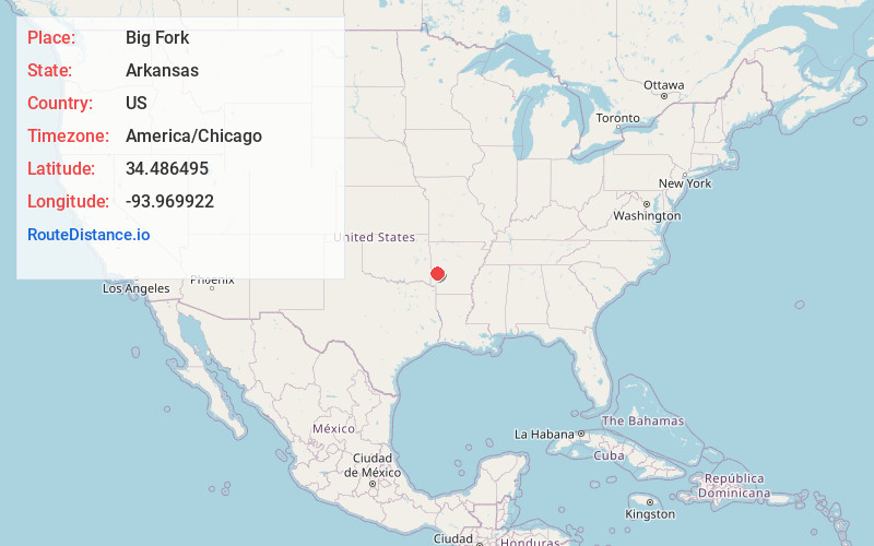
Full AddressBig Fork, AR 71953
-
Coordinates34.4864951, -93.9699217
-
LocationBig Fork , Arkansas , US
-
TimezoneAmerica/Chicago
-
Current Local Time8:02:04 AM America/ChicagoMonday, June 23, 2025
-
Page Views0
About Big Fork
Big Fork is an unincorporated community in eastern Polk County, Arkansas, United States. The community is approximately 17 miles southeast of Mena on Arkansas Route 8. Big Fork Creek flows past the east side of the community. The community of Abernathy Springs lies 1.5 miles to the southeast on Route 8.


Nearby Places
Found 10 places within 50 miles

Opal
3.8 mi
6.1 km
Opal, AR 71953
Get directions

Raspberry Mountain
7.4 mi
11.9 km
Raspberry Mountain, Arkansas 71953
Get directions
Pine Ridge
7.7 mi
12.4 km
Pine Ridge, AR 71961
Get directions
Board Camp
8.0 mi
12.9 km
Board Camp, AR 71953
Get directions
Shady
8.9 mi
14.3 km
Shady, AR 71953
Get directions

Oden
14.3 mi
23.0 km
Oden, AR 71961
Get directions
Black Springs
14.7 mi
23.7 km
Black Springs, AR 71960
Get directions
Baker Springs
16.5 mi
26.6 km
Baker Springs, AR 71833
Get directions

Mena
16.6 mi
26.7 km
Mena, AR 71953
Get directions
Pencil Bluff
16.7 mi
26.9 km
Pencil Bluff, AR
Get directions
Location Links
Local Weather
Weather Information
Coming soon!
Location Map
Static map view of Big Fork, Arkansas
Browse Places by Distance
Places within specific distances from Big Fork
Short Distances
Long Distances
Click any distance to see all places within that range from Big Fork. Distances shown in miles (1 mile ≈ 1.61 kilometers).