Distance to Big Sag, Montana

Calculating Your Route
Just a moment while we process your request...
Location Information
-
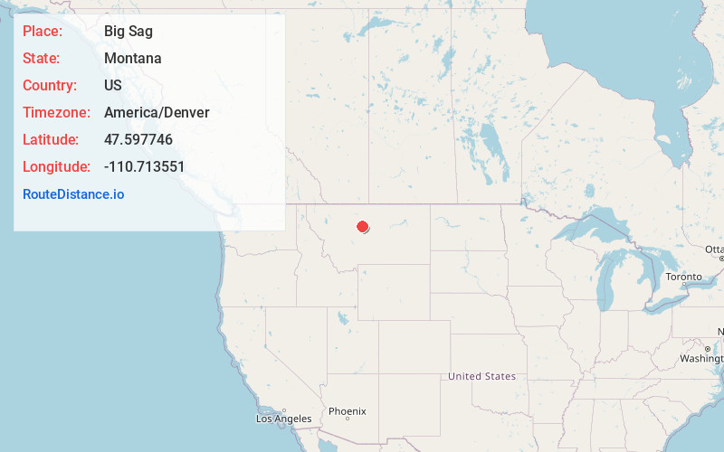
Full AddressBig Sag, MT 59450
-
Coordinates47.5977462, -110.7135513
-
LocationBig Sag , Montana , US
-
TimezoneAmerica/Denver
-
Current Local Time4:41:01 PM America/DenverFriday, June 20, 2025
-
Page Views0
About Big Sag
Big Sag is an unincorporated community in Chouteau County, in the U.S. state of Montana. It is located off of Montana Secondary Highway 228. It is near the Big Sag Waterfowl Production Area.
Nearby Places
Found 10 places within 50 miles

Highwood
3.8 mi
6.1 km
Highwood, MT 59450
Get directions

Shonkin
6.9 mi
11.1 km
Shonkin, MT 59442
Get directions
Waltham
8.5 mi
13.7 km
Waltham, MT 59450
Get directions
Montague
13.3 mi
21.4 km
Montague, MT 59442
Get directions
Wayne
15.7 mi
25.3 km
Wayne, MT 59412
Get directions

Fort Benton
16.6 mi
26.7 km
Fort Benton, MT 59442
Get directions

Carter
17.0 mi
27.4 km
Carter, MT 59420
Get directions
Floweree
17.2 mi
27.7 km
Floweree, MT 59440
Get directions
Fife
17.5 mi
28.2 km
Fife, MT 59405
Get directions
Belt
17.7 mi
28.5 km
Belt, MT 59412
Get directions
Location Links
Local Weather
Weather Information
Coming soon!
Location Map
Static map view of Big Sag, Montana
Browse Places by Distance
Places within specific distances from Big Sag
Short Distances
Long Distances
Click any distance to see all places within that range from Big Sag. Distances shown in miles (1 mile ≈ 1.61 kilometers).