Distance to Billings County, North Dakota

Calculating Your Route
Just a moment while we process your request...
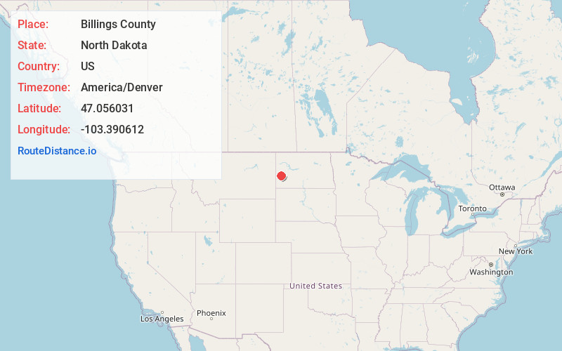
Location Information
-
Full AddressBillings County, ND
-
Coordinates47.0560305, -103.3906121
-
LocationNorth Dakota , US
-
TimezoneAmerica/Denver
-
Current Local Time5:56:42 AM America/DenverTuesday, June 3, 2025
-
Page Views0
About Billings County
Billings County is a county in the U.S. state of North Dakota. As of the 2020 census, the population was 945, making it the second-least populous county in North Dakota. Its county seat and only incorporated place is Medora.


Nearby Places
Found 10 places within 50 miles

Gorham
7.5 mi
12.1 km
Gorham, ND 58627
Get directions

Medora
11.7 mi
18.8 km
Medora, ND 58645
Get directions

Sully Springs
13.0 mi
20.9 km
Sully Springs, ND 58622
Get directions
Fryburg
13.5 mi
21.7 km
Fryburg, ND 58622
Get directions

Belfield
14.8 mi
23.8 km
Belfield, ND 58622
Get directions
Rider
15.2 mi
24.5 km
Rider, ND 58645
Get directions
Zenith
18.5 mi
29.8 km
Zenith, ND 58655
Get directions
De Mores
19.0 mi
30.6 km
De Mores, ND 58645
Get directions
South Heart
23.0 mi
37.0 km
South Heart, ND
Get directions

Sentinel Butte
23.2 mi
37.3 km
Sentinel Butte, ND 58654
Get directions
Location Links
Local Weather
Weather Information
Coming soon!
Location Map
Static map view of Billings County, North Dakota
Browse Places by Distance
Places within specific distances from Billings County
Short Distances
Long Distances
Click any distance to see all places within that range from Billings County. Distances shown in miles (1 mile ≈ 1.61 kilometers).