Distance to Gorham, North Dakota

Calculating Your Route
Just a moment while we process your request...
Location Information
-
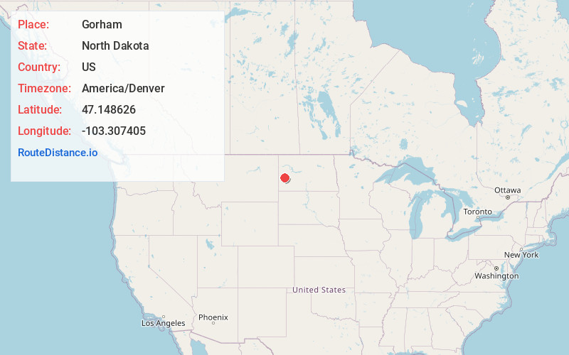
Full AddressGorham, ND 58627
-
Coordinates47.1486256, -103.307405
-
LocationGorham , North Dakota , US
-
TimezoneAmerica/Denver
-
Current Local Time7:50:39 AM America/DenverWednesday, June 18, 2025
-
Page Views0
About Gorham
Gorham is an unincorporated community and ghost town in Billings County, North Dakota, United States. The community was founded c. 1899 and became heavily populated by Ukrainian immigrants.


Nearby Places
Found 10 places within 50 miles

Grassy Butte
17.1 mi
27.5 km
Grassy Butte, ND 58634
Get directions

Fayette
18.8 mi
30.3 km
Fayette, ND 58642
Get directions

Belfield
18.9 mi
30.4 km
Belfield, ND 58622
Get directions

Medora
19.2 mi
30.9 km
Medora, ND 58645
Get directions

Sully Springs
19.8 mi
31.9 km
Sully Springs, ND 58622
Get directions
Zenith
21.1 mi
34.0 km
Zenith, ND 58655
Get directions
New Hradec
22.4 mi
36.0 km
New Hradec, ND 58601
Get directions
Rider
22.4 mi
36.0 km
Rider, ND 58645
Get directions
South Heart
24.6 mi
39.6 km
South Heart, ND
Get directions
De Mores
25.8 mi
41.5 km
De Mores, ND 58645
Get directions
Location Links
Local Weather
Weather Information
Coming soon!
Location Map
Static map view of Gorham, North Dakota
Browse Places by Distance
Places within specific distances from Gorham
Short Distances
Long Distances
Click any distance to see all places within that range from Gorham. Distances shown in miles (1 mile ≈ 1.61 kilometers).