Distance to Binns Hall, Virginia

Calculating Your Route
Just a moment while we process your request...
Location Information
-
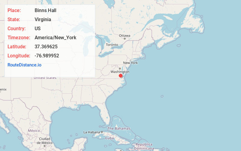
Full AddressBinns Hall, VA 23030
-
Coordinates37.369625, -76.989952
-
LocationBinns Hall , Virginia , US
-
TimezoneAmerica/New_York
-
Current Local Time9:52:02 PM America/New_YorkFriday, May 30, 2025
-
Page Views0
About Binns Hall
Binns Hall is an unincorporated community in eastern Charles City County, Virginia, United States. Binns Hall lies at the intersection of the Glebe Lane and Liberty Church Roads. A post office once occupied the Binns Hall Store. The community had two schools and a hall of the Order of St. Lukes.
Nearby Places
Found 10 places within 50 miles

Ruthville
2.8 mi
4.5 km
Ruthville, VA 23030
Get directions
Sherwood Forest
3.0 mi
4.8 km
Sherwood Forest, VA 23030
Get directions
Chickahominy Shores
3.2 mi
5.1 km
Chickahominy Shores, VA 23089
Get directions
Osborn Landing
3.3 mi
5.3 km
Osborn Landing, VA 23140
Get directions
Walkers
4.2 mi
6.8 km
Walkers, VA 23089
Get directions

Charles City
4.8 mi
7.7 km
Charles City, VA 23030
Get directions
Chickahominy Haven
5.2 mi
8.4 km
Chickahominy Haven, VA 23089
Get directions

Providence Forge
5.8 mi
9.3 km
Providence Forge, VA 23140
Get directions
Upper Brandon
5.9 mi
9.5 km
Upper Brandon, VA 23881
Get directions

Lanexa
6.1 mi
9.8 km
Lanexa, VA 23089
Get directions
Location Links
Local Weather
Weather Information
Coming soon!
Location Map
Static map view of Binns Hall, Virginia
Browse Places by Distance
Places within specific distances from Binns Hall
Short Distances
Long Distances
Click any distance to see all places within that range from Binns Hall. Distances shown in miles (1 mile ≈ 1.61 kilometers).