Distance to Chickahominy Haven, Virginia

Calculating Your Route
Just a moment while we process your request...
Location Information
-
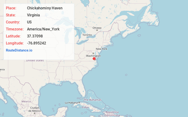
Full AddressChickahominy Haven, VA 23089
-
Coordinates37.3709801, -76.8952417
-
LocationVirginia , US
-
TimezoneAmerica/New_York
-
Current Local Time3:32:07 PM America/New_YorkTuesday, June 3, 2025
-
Page Views0
Nearby Places
Found 10 places within 50 miles

Diascund
2.1 mi
3.4 km
Diascund, VA 23089
Get directions
Chickahominy Shores
3.0 mi
4.8 km
Chickahominy Shores, VA 23089
Get directions

Lanexa
3.7 mi
6.0 km
Lanexa, VA 23089
Get directions
Barhamsville
6.5 mi
10.5 km
Barhamsville, VA 23011
Get directions

Norge
6.9 mi
11.1 km
Norge, VA 23188
Get directions
Sherwood Forest
7.3 mi
11.7 km
Sherwood Forest, VA 23030
Get directions

Lightfoot
7.8 mi
12.6 km
Lightfoot, VA
Get directions
Ruthville
8.0 mi
12.9 km
Ruthville, VA 23030
Get directions

Providence Forge
9.5 mi
15.3 km
Providence Forge, VA 23140
Get directions
Mt Folly
9.7 mi
15.6 km
Mt Folly, Virginia 23188
Get directions
Location Links
Local Weather
Weather Information
Coming soon!
Location Map
Static map view of Chickahominy Haven, Virginia
Browse Places by Distance
Places within specific distances from Chickahominy Haven
Short Distances
Long Distances
Click any distance to see all places within that range from Chickahominy Haven. Distances shown in miles (1 mile ≈ 1.61 kilometers).