Distance to Blackburn, Arkansas

Calculating Your Route
Just a moment while we process your request...
Location Information
-
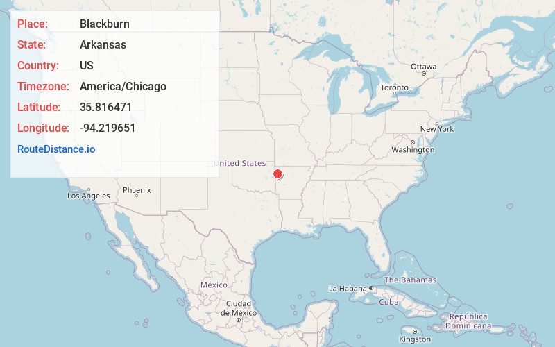
Full AddressBlackburn, AR 72959
-
Coordinates35.8164707, -94.219651
-
LocationArkansas , US
-
TimezoneAmerica/Chicago
-
Current Local Time12:03:53 AM America/ChicagoSunday, June 22, 2025
-
Page Views0
About Blackburn
Blackburn is an unincorporated community in Lee's Creek Township, Washington County, Arkansas, United States. It is located on Arkansas Highway 74, northeast of Devil's Den State Park.
A post office called Blackburn was established in 1880, and remained in operation until 1952.
Nearby Places
Found 10 places within 50 miles

Lee Creek
2.7 mi
4.3 km
Lee Creek, Arkansas
Get directions

Winslow
4.9 mi
7.9 km
Winslow, AR 72959
Get directions

Strickler
5.3 mi
8.5 km
Strickler, AR 72774
Get directions
Schaberg
6.8 mi
10.9 km
Schaberg, AR 72946
Get directions
Brentwood
7.0 mi
11.3 km
Brentwood, AR 72959
Get directions
Mt Gaylor
7.3 mi
11.7 km
Mt Gaylor, AR 72946
Get directions
Hogeye
7.7 mi
12.4 km
Hogeye, AR 72753
Get directions
Floss
8.1 mi
13.0 km
Floss, AR 72753
Get directions

Artist Point
8.1 mi
13.0 km
Artist Point, AR 72946
Get directions

West Fork
8.2 mi
13.2 km
West Fork, AR 72774
Get directions
Location Links
Local Weather
Weather Information
Coming soon!
Location Map
Static map view of Blackburn, Arkansas
Browse Places by Distance
Places within specific distances from Blackburn
Short Distances
Long Distances
Click any distance to see all places within that range from Blackburn. Distances shown in miles (1 mile ≈ 1.61 kilometers).