Distance to Blackiston Mill, Indiana

Calculating Your Route
Just a moment while we process your request...
Location Information
-
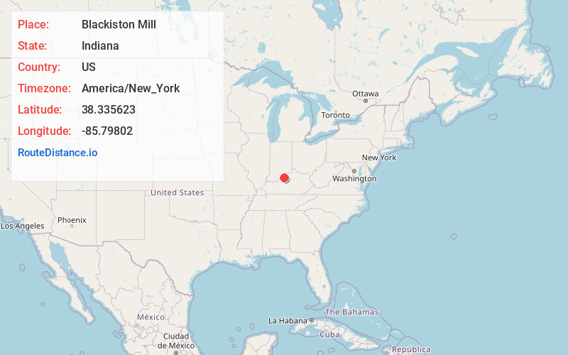
Full AddressBlackiston Mill, New Albany, IN 47150
-
Coordinates38.3356233, -85.7980201
-
LocationNew Albany , Indiana , US
-
TimezoneAmerica/New_York
-
Current Local Time4:27:48 PM America/New_YorkMonday, June 23, 2025
-
Page Views0
About Blackiston Mill
Blackiston Mill is an unincorporated community located in Floyd County, Indiana, at latitude 38.336 and longitude -85.798. The elevation is 446 feet.
B. F. Blackiston once owned a mill in the community.

Nearby Places
Found 10 places within 50 miles

Clarksville
3.4 mi
5.5 km
Clarksville, IN
Get directions

Hamburg
3.7 mi
6.0 km
Hamburg, Silver Creek Township, IN 47172
Get directions

New Albany
3.7 mi
6.0 km
New Albany, IN 47150
Get directions

Floyds Knobs
4.2 mi
6.8 km
Floyds Knobs, IN
Get directions

Sellersburg
4.9 mi
7.9 km
Sellersburg, IN
Get directions

Jeffersonville
5.2 mi
8.4 km
Jeffersonville, IN
Get directions
Bennettsville
6.2 mi
10.0 km
Bennettsville, Carr Township, IN 47143
Get directions

Louisville
6.4 mi
10.3 km
Louisville, KY
Get directions
Edwardsville
7.0 mi
11.3 km
Edwardsville, Georgetown Township, IN 47122
Get directions

Starlight
7.5 mi
12.1 km
Starlight, IN 47106
Get directions
Location Links
Local Weather
Weather Information
Coming soon!
Location Map
Static map view of Blackiston Mill, Indiana
Browse Places by Distance
Places within specific distances from Blackiston Mill
Short Distances
Long Distances
Click any distance to see all places within that range from Blackiston Mill. Distances shown in miles (1 mile ≈ 1.61 kilometers).