Distance to Blanton, Alabama

Calculating Your Route
Just a moment while we process your request...
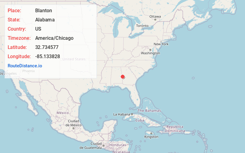
Location Information
-
Full AddressBlanton, AL 36854
-
Coordinates32.7345767, -85.1338277
-
LocationAlabama , US
-
TimezoneAmerica/Chicago
-
Current Local Time9:02:45 PM America/ChicagoThursday, June 19, 2025
-
Page Views0
Nearby Places
Found 10 places within 50 miles

Halawaka
5.3 mi
8.5 km
Halawaka, AL 36854
Get directions

Valley
6.4 mi
10.3 km
Valley, AL 36854
Get directions
Wacoochee Valley
7.3 mi
11.7 km
Wacoochee Valley, AL 36874
Get directions

Huguley
8.9 mi
14.3 km
Huguley, AL 36863
Get directions
Piney Grove
9.4 mi
15.1 km
Piney Grove, GA 31808
Get directions

Lanett
9.8 mi
15.8 km
Lanett, AL
Get directions

West Point
10.3 mi
16.6 km
West Point, GA
Get directions

Cusseta
10.6 mi
17.1 km
Cusseta, AL 36852
Get directions
Gray Hill
13.5 mi
21.7 km
Gray Hill, GA 31833
Get directions

Smiths Station
13.6 mi
21.9 km
Smiths Station, AL
Get directions
Location Links
Local Weather
Weather Information
Coming soon!
Location Map
Static map view of Blanton, Alabama
Browse Places by Distance
Places within specific distances from Blanton
Short Distances
Long Distances
Click any distance to see all places within that range from Blanton. Distances shown in miles (1 mile ≈ 1.61 kilometers).