Distance to Huguley, Alabama

Calculating Your Route
Just a moment while we process your request...
Location Information
-
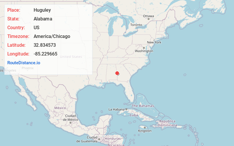
Full AddressHuguley, AL 36863
-
Coordinates32.8345732, -85.2296647
-
LocationHuguley , Alabama , US
-
TimezoneAmerica/Chicago
-
Current Local Time10:59:59 AM America/ChicagoThursday, June 19, 2025
-
Page Views0
About Huguley
Huguley is a census-designated place and unincorporated community in Chambers County, Alabama, United States. At the 2020 census, the population was 2,470.

Nearby Places
Found 10 places within 50 miles

Valley
3.1 mi
5.0 km
Valley, AL 36854
Get directions

Lanett
3.3 mi
5.3 km
Lanett, AL
Get directions

West Point
4.0 mi
6.4 km
West Point, GA
Get directions

Opelika
15.7 mi
25.3 km
Opelika, AL
Get directions

LaGrange
18.0 mi
29.0 km
LaGrange, GA
Get directions

Auburn
21.4 mi
34.4 km
Auburn, AL
Get directions

Smiths Station
21.7 mi
34.9 km
Smiths Station, AL
Get directions

Roanoke
23.4 mi
37.7 km
Roanoke, AL 36274
Get directions

Ladonia
26.8 mi
43.1 km
Ladonia, AL
Get directions

Phenix City
28.4 mi
45.7 km
Phenix City, AL
Get directions
Location Links
Local Weather
Weather Information
Coming soon!
Location Map
Static map view of Huguley, Alabama
Browse Places by Distance
Places within specific distances from Huguley
Short Distances
Long Distances
Click any distance to see all places within that range from Huguley. Distances shown in miles (1 mile ≈ 1.61 kilometers).