Distance to Boone, Oklahoma

Calculating Your Route
Just a moment while we process your request...
Location Information
-
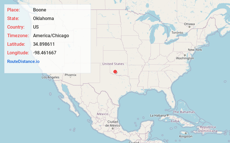
Full AddressBoone, OK 73006
-
Coordinates34.898611, -98.461667
-
LocationBoone , Oklahoma , US
-
TimezoneAmerica/Chicago
-
Current Local Time10:35:24 AM America/ChicagoWednesday, June 18, 2025
-
Page Views0
About Boone
Boone is an unincorporated community in Caddo County, Oklahoma, United States. Boone is located along Oklahoma State Highway 19, 5.5 miles west of Apache.
Nearby Places
Found 10 places within 50 miles

Apache
5.4 mi
8.7 km
Apache, OK 73006
Get directions

Broxton
6.7 mi
10.8 km
Broxton, OK 73006
Get directions

Lake Ellsworth
6.9 mi
11.1 km
Lake Ellsworth, Oklahoma
Get directions
Alden
8.8 mi
14.2 km
Alden, OK 73015
Get directions
Porter Hill
9.1 mi
14.6 km
Porter Hill, OK 73538
Get directions
Lawtonka Acres
9.2 mi
14.8 km
Lawtonka Acres, OK 73507
Get directions

Stecker
9.2 mi
14.8 km
Stecker, OK 73006
Get directions

Meers
10.4 mi
16.7 km
Meers, OK 73507
Get directions

Apache Wye
11.7 mi
18.8 km
Apache Wye, OK 73005
Get directions
Duhringe Pass
11.8 mi
19.0 km
Duhringe Pass, Medicine Park, OK 73507
Get directions
Location Links
Local Weather
Weather Information
Coming soon!
Location Map
Static map view of Boone, Oklahoma
Browse Places by Distance
Places within specific distances from Boone
Short Distances
Long Distances
Click any distance to see all places within that range from Boone. Distances shown in miles (1 mile ≈ 1.61 kilometers).