Distance to and from Bountiful, Colorado
Bountiful, CO 81140
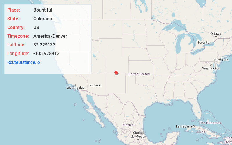
Bountiful
Colorado
US
America/Denver
Location Information
-
Full AddressBountiful, CO 81140
-
Coordinates37.2291332, -105.9788125
-
LocationBountiful , Colorado , US
-
TimezoneAmerica/Denver
-
Current Local Time12:44:03 AM America/DenverSunday, May 4, 2025
-
Page Views0
Directions to Nearest Cities
About Bountiful
Bountiful is an unincorporated community in Conejos County, in the U.S. state of Colorado.
The community is on the Colorado Pacific Rio Grande Railroad, between Romeo to the south and La Jara to the north.
The name Bountiful most likely is Mormon in origin. Bountiful has never had a post office.
Nearby Places
Found 10 places within 50 miles

La Jara
3.3 mi
5.3 km
La Jara, CO 81140
Get directions

Romeo
3.9 mi
6.3 km
Romeo, CO
Get directions

Manassa
4.4 mi
7.1 km
Manassa, CO
Get directions
Sanford
4.5 mi
7.2 km
Sanford, CO 81151
Get directions

Capulin
8.2 mi
13.2 km
Capulin, CO
Get directions

Conejos
10.0 mi
16.1 km
Conejos, CO 81120
Get directions
Centro
10.0 mi
16.1 km
Centro, CO 81140
Get directions

Antonito
10.5 mi
16.9 km
Antonito, CO 81120
Get directions

Alamosa
17.6 mi
28.3 km
Alamosa, CO 81101
Get directions
Alamosa East
18.1 mi
29.1 km
Alamosa East, CO 81101
Get directions
La Jara
3.3 mi
5.3 km
La Jara, CO 81140
Romeo
3.9 mi
6.3 km
Romeo, CO
Manassa
4.4 mi
7.1 km
Manassa, CO
Sanford
4.5 mi
7.2 km
Sanford, CO 81151
Capulin
8.2 mi
13.2 km
Capulin, CO
Conejos
10.0 mi
16.1 km
Conejos, CO 81120
Centro
10.0 mi
16.1 km
Centro, CO 81140
Antonito
10.5 mi
16.9 km
Antonito, CO 81120
Alamosa
17.6 mi
28.3 km
Alamosa, CO 81101
Alamosa East
18.1 mi
29.1 km
Alamosa East, CO 81101
Location Links
Local Weather
Weather Information
Coming soon!
Location Map
Static map view of Bountiful, Colorado
Browse Places by Distance
Places within specific distances from Bountiful
Short Distances
Long Distances
Click any distance to see all places within that range from Bountiful. Distances shown in miles (1 mile ≈ 1.61 kilometers).