Distance to Bowdon Junction, Georgia

Calculating Your Route
Just a moment while we process your request...
Location Information
-
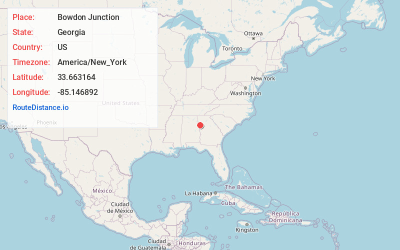
Full AddressBowdon Junction, GA 30117
-
Coordinates33.6631637, -85.1468918
-
LocationBowdon Junction , Georgia , US
-
TimezoneAmerica/New_York
-
Current Local Time4:30:19 AM America/New_YorkWednesday, June 4, 2025
-
Page Views0
About Bowdon Junction
Bowdon Junction is an unincorporated community in Carroll County, Georgia, United States. The community is located along U.S. Route 27, 7 miles northwest of Carrollton. Bowdon Junction has a post office with ZIP code 30109, which opened on April 29, 1911.
Nearby Places
Found 10 places within 50 miles

Mandeville
0.8 mi
1.3 km
Mandeville, GA 30117
Get directions

Mt Zion
3.1 mi
5.0 km
Mt Zion, GA
Get directions

Waco
3.4 mi
5.5 km
Waco, GA
Get directions

Bremen
4.0 mi
6.4 km
Bremen, GA
Get directions
Jake
4.7 mi
7.6 km
Jake, GA 30182
Get directions
Budapest
5.4 mi
8.7 km
Budapest, GA 30110
Get directions
Abilene
5.7 mi
9.2 km
Abilene, GA 30116
Get directions
West Bremen
6.4 mi
10.3 km
West Bremen, GA 30110
Get directions

Burwell
6.7 mi
10.8 km
Burwell, GA 30117
Get directions

Carrollton
7.0 mi
11.3 km
Carrollton, GA
Get directions
Location Links
Local Weather
Weather Information
Coming soon!
Location Map
Static map view of Bowdon Junction, Georgia
Browse Places by Distance
Places within specific distances from Bowdon Junction
Short Distances
Long Distances
Click any distance to see all places within that range from Bowdon Junction. Distances shown in miles (1 mile ≈ 1.61 kilometers).