Distance to and from Brogden, North Carolina
Brogden, NC 28333
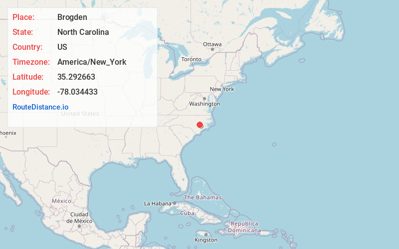
Brogden
North Carolina
US
America/New_York
Location Information
-
Full AddressBrogden, NC 28333
-
Coordinates35.2926631, -78.0344334
-
LocationBrogden , North Carolina , US
-
TimezoneAmerica/New_York
-
Current Local Time2:10:17 PM America/New_YorkSaturday, May 3, 2025
-
Page Views0
Directions to Nearest Cities
About Brogden
Brogden is a census-designated place in Wayne County, North Carolina, United States. The population was 2,510 in 2020. It is included in the Goldsboro, North Carolina Metropolitan Statistical Area.
Nearby Places
Found 10 places within 50 miles

Goldsboro
6.7 mi
10.8 km
Goldsboro, NC
Get directions

Mt Olive
6.9 mi
11.1 km
Mt Olive, NC 28365
Get directions

Elroy
7.9 mi
12.7 km
Elroy, NC
Get directions

Warsaw
20.5 mi
33.0 km
Warsaw, NC
Get directions

Selma
22.0 mi
35.4 km
Selma, NC
Get directions

Smithfield
22.7 mi
36.5 km
Smithfield, NC
Get directions

Kinston
25.6 mi
41.2 km
Kinston, NC
Get directions

Clinton
26.1 mi
42.0 km
Clinton, NC 28328
Get directions

Benson
29.6 mi
47.6 km
Benson, NC 27504
Get directions

Wilson
30.7 mi
49.4 km
Wilson, NC
Get directions
Goldsboro
6.7 mi
10.8 km
Goldsboro, NC
Mt Olive
6.9 mi
11.1 km
Mt Olive, NC 28365
Elroy
7.9 mi
12.7 km
Elroy, NC
Warsaw
20.5 mi
33.0 km
Warsaw, NC
Selma
22.0 mi
35.4 km
Selma, NC
Smithfield
22.7 mi
36.5 km
Smithfield, NC
Kinston
25.6 mi
41.2 km
Kinston, NC
Clinton
26.1 mi
42.0 km
Clinton, NC 28328
Benson
29.6 mi
47.6 km
Benson, NC 27504
Wilson
30.7 mi
49.4 km
Wilson, NC
Location Links
Local Weather
Weather Information
Coming soon!
Location Map
Static map view of Brogden, North Carolina
Browse Places by Distance
Places within specific distances from Brogden
Short Distances
Long Distances
Click any distance to see all places within that range from Brogden. Distances shown in miles (1 mile ≈ 1.61 kilometers).