Distance to Brookdale, California

Calculating Your Route
Just a moment while we process your request...
Location Information
-
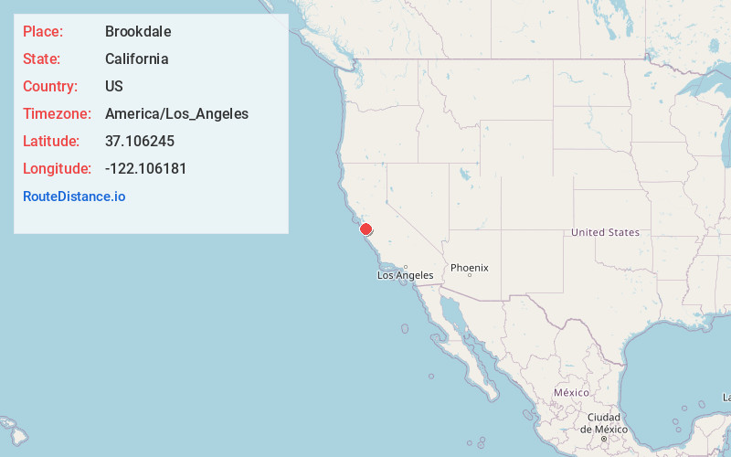
Full AddressBrookdale, CA
-
Coordinates37.1062446, -122.106181
-
LocationBrookdale , California , US
-
TimezoneAmerica/Los_Angeles
-
Current Local Time11:32:51 PM America/Los_AngelesSaturday, June 14, 2025
-
Page Views0
About Brookdale
Brookdale is a census-designated place in Santa Cruz County, California. Brookdale sits at an elevation of 405 feet. It is located in the San Lorenzo Valley between Boulder Creek and Ben Lomond on Highway 9. The 2010 United States census reported Brookdale's population was 1,991.

Nearby Places
Found 10 places within 50 miles

Ben Lomond
1.6 mi
2.6 km
Ben Lomond, CA
Get directions

Boulder Creek
1.6 mi
2.6 km
Boulder Creek, CA 95006
Get directions

Bonny Doon
4.1 mi
6.6 km
Bonny Doon, CA 95060
Get directions

Felton
4.2 mi
6.8 km
Felton, CA
Get directions

Mt Hermon
4.7 mi
7.6 km
Mt Hermon, CA
Get directions

Santa Cruz
10.1 mi
16.3 km
Santa Cruz, CA
Get directions

Monte Sereno
11.0 mi
17.7 km
Monte Sereno, CA 95030
Get directions

Soquel
11.6 mi
18.7 km
Soquel, CA
Get directions

Twin Lakes State Beach
11.6 mi
18.7 km
Twin Lakes State Beach, California 95062
Get directions

Los Gatos
12.0 mi
19.3 km
Los Gatos, CA
Get directions
Location Links
Local Weather
Weather Information
Coming soon!
Location Map
Static map view of Brookdale, California
Browse Places by Distance
Places within specific distances from Brookdale
Short Distances
Long Distances
Click any distance to see all places within that range from Brookdale. Distances shown in miles (1 mile ≈ 1.61 kilometers).