Distance to Buchanan Township, Missouri

Calculating Your Route
Just a moment while we process your request...
Location Information
-
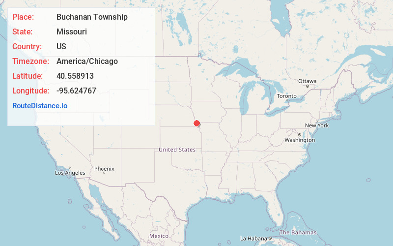
Full AddressBuchanan Township, MO
-
Coordinates40.5589133, -95.624767
-
LocationBuchanan Township , Missouri , US
-
TimezoneAmerica/Chicago
-
Current Local Time3:09:22 AM America/ChicagoTuesday, June 17, 2025
-
Page Views0
About Buchanan Township
Buchanan Township is a township in Atchison County, Missouri, United States. At the 2020 census, its population was 65. The northwest corner of the township is the northwest corner of the entire state.
Buchanan Township was established in 1858, and named after James Buchanan, the 15th President of the United States.

Nearby Places
Found 10 places within 50 miles

Hamburg
3.6 mi
5.8 km
Hamburg, IA 51640
Get directions

Watson
5.7 mi
9.2 km
Watson, MO 64496
Get directions

Peru
8.2 mi
13.2 km
Peru, NE 68421
Get directions
Minersville
9.0 mi
14.5 km
Minersville, Otoe Precinct, NE 68410
Get directions
Farmers City
9.2 mi
14.8 km
Farmers City, Polk Township, MO 64498
Get directions

Riverton
9.3 mi
15.0 km
Riverton, IA 51650
Get directions
Payne
10.4 mi
16.7 km
Payne, IA 51640
Get directions
Phelps City
10.8 mi
17.4 km
Phelps City, MO 64482
Get directions

Brownville
11.3 mi
18.2 km
Brownville, NE 68321
Get directions

Rock Port
11.7 mi
18.8 km
Rock Port, MO 64482
Get directions
Location Links
Local Weather
Weather Information
Coming soon!
Location Map
Static map view of Buchanan Township, Missouri
Browse Places by Distance
Places within specific distances from Buchanan Township
Short Distances
Long Distances
Click any distance to see all places within that range from Buchanan Township. Distances shown in miles (1 mile ≈ 1.61 kilometers).