Distance to Burnham, Illinois

Calculating Your Route
Just a moment while we process your request...
Location Information
-
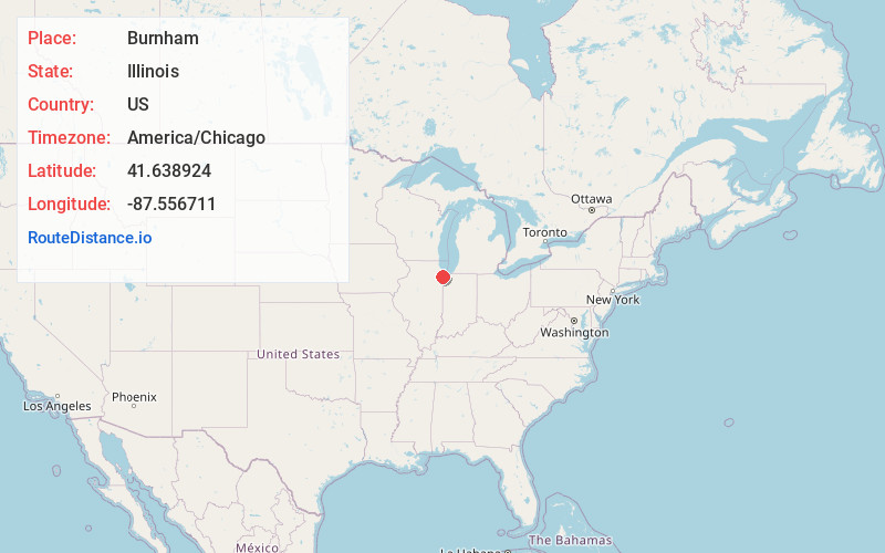
Full AddressBurnham, IL
-
Coordinates41.638924, -87.5567108
-
LocationBurnham , Illinois , US
-
TimezoneAmerica/Chicago
-
Current Local Time4:42:59 PM America/ChicagoWednesday, June 18, 2025
-
Website
-
Page Views0
About Burnham
Burnham is a village in Cook County, Illinois, United States. The population was 4,046 at the 2020 census. Burnham has a Chicago ZIP code and was named for Telford Burnham, who drew its plat.
There are two sections of Burnham. The westernmost section surrounds Torrence Avenue, a north–south street.
Nearby Places
Found 10 places within 50 miles

Calumet City
2.1 mi
3.4 km
Calumet City, IL
Get directions

Dolton
2.6 mi
4.2 km
Dolton, IL
Get directions

South Holland
3.7 mi
6.0 km
South Holland, IL
Get directions

Riverdale
4.0 mi
6.4 km
Riverdale, IL
Get directions

Whiting
4.3 mi
6.9 km
Whiting, IN
Get directions

Hammond
4.8 mi
7.7 km
Hammond, IN
Get directions

Harvey
5.1 mi
8.2 km
Harvey, IL
Get directions

Lansing
5.2 mi
8.4 km
Lansing, IL
Get directions

East Chicago
5.3 mi
8.5 km
East Chicago, IN
Get directions

Calumet Park
5.6 mi
9.0 km
Calumet Park, IL
Get directions
Location Links
Local Weather
Weather Information
Coming soon!
Location Map
Static map view of Burnham, Illinois
Browse Places by Distance
Places within specific distances from Burnham
Short Distances
Long Distances
Click any distance to see all places within that range from Burnham. Distances shown in miles (1 mile ≈ 1.61 kilometers).