Distance to Bushnell, Nebraska

Calculating Your Route
Just a moment while we process your request...
Location Information
-
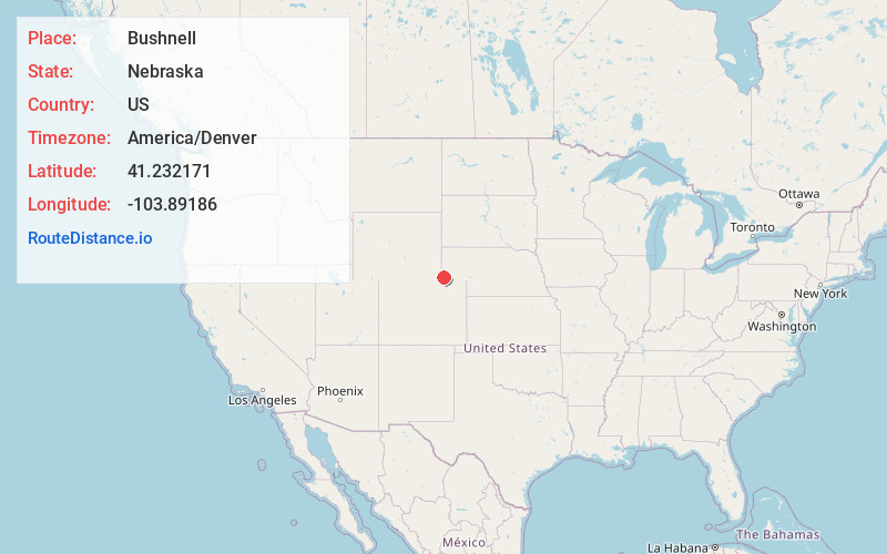
Full AddressBushnell, NE 69128
-
Coordinates41.2321705, -103.8918599
-
LocationBushnell , Nebraska , US
-
TimezoneAmerica/Denver
-
Current Local Time1:49:14 PM America/DenverSaturday, June 28, 2025
-
Page Views0
About Bushnell
Bushnell is a village in Kimball County, Nebraska, United States. The population was 111 in 2023.

Nearby Places
Found 10 places within 50 miles

Pine Bluffs
9.8 mi
15.8 km
Pine Bluffs, WY 82082
Get directions

Kimball
11.9 mi
19.2 km
Kimball, NE 69145
Get directions

Albin
16.7 mi
26.9 km
Albin, WY 82050
Get directions

Dix
21.1 mi
34.0 km
Dix, NE 69133
Get directions
Burns
24.4 mi
39.3 km
Burns, WY 82053
Get directions

Carpenter
27.8 mi
44.7 km
Carpenter, WY 82054
Get directions

Potter
30.0 mi
48.3 km
Potter, NE
Get directions

Grover
30.4 mi
48.9 km
Grover, CO 80729
Get directions
La Grange
31.5 mi
50.7 km
La Grange, WY 82221
Get directions
Melbeta
42.7 mi
68.7 km
Melbeta, NE
Get directions
Location Links
Local Weather
Weather Information
Coming soon!
Location Map
Static map view of Bushnell, Nebraska
Browse Places by Distance
Places within specific distances from Bushnell
Short Distances
Long Distances
Click any distance to see all places within that range from Bushnell. Distances shown in miles (1 mile ≈ 1.61 kilometers).