Distance to Cain Rock, California

Calculating Your Route
Just a moment while we process your request...
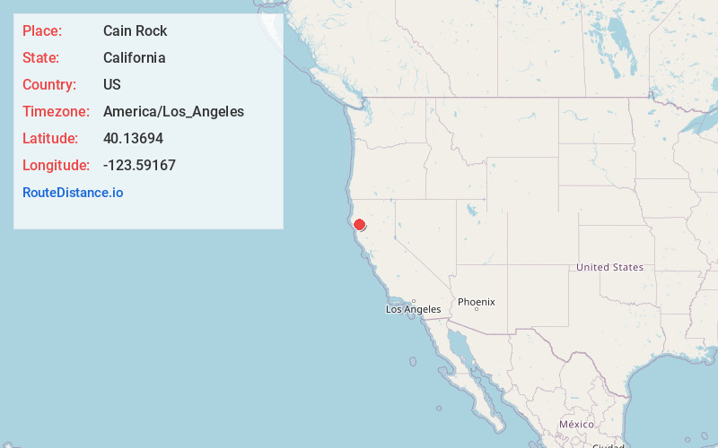
Location Information
-
Full AddressCain Rock, CA 95511
-
Coordinates40.13694, -123.59167
-
LocationCain Rock , California , US
-
TimezoneAmerica/Los_Angeles
-
Current Local Time11:32:59 AM America/Los_AngelesFriday, May 23, 2025
-
Page Views0
Nearby Places
Found 10 places within 50 miles

Alderpoint
2.9 mi
4.7 km
Alderpoint, CA 95511
Get directions

Kekawaka
4.8 mi
7.7 km
Kekawaka, CA 95542
Get directions
Fort Seward
6.7 mi
10.8 km
Fort Seward, CA 95511
Get directions

Kettenpom
7.1 mi
11.4 km
Kettenpom, CA 95595
Get directions

Zenia
7.1 mi
11.4 km
Zenia, CA 95595
Get directions
Island Mountain
9.3 mi
15.0 km
Island Mountain, CA 95454
Get directions
Blocksburg
9.9 mi
15.9 km
Blocksburg, CA 95514
Get directions

Garberville
11.0 mi
17.7 km
Garberville, CA
Get directions

Benbow
11.3 mi
18.2 km
Benbow, CA 95542
Get directions

Phillipsville
11.4 mi
18.3 km
Phillipsville, CA 95559
Get directions
Location Links
Local Weather
Weather Information
Coming soon!
Location Map
Static map view of Cain Rock, California
Browse Places by Distance
Places within specific distances from Cain Rock
Short Distances
Long Distances
Click any distance to see all places within that range from Cain Rock. Distances shown in miles (1 mile ≈ 1.61 kilometers).