Distance to Cale, Indiana

Calculating Your Route
Just a moment while we process your request...
Location Information
-
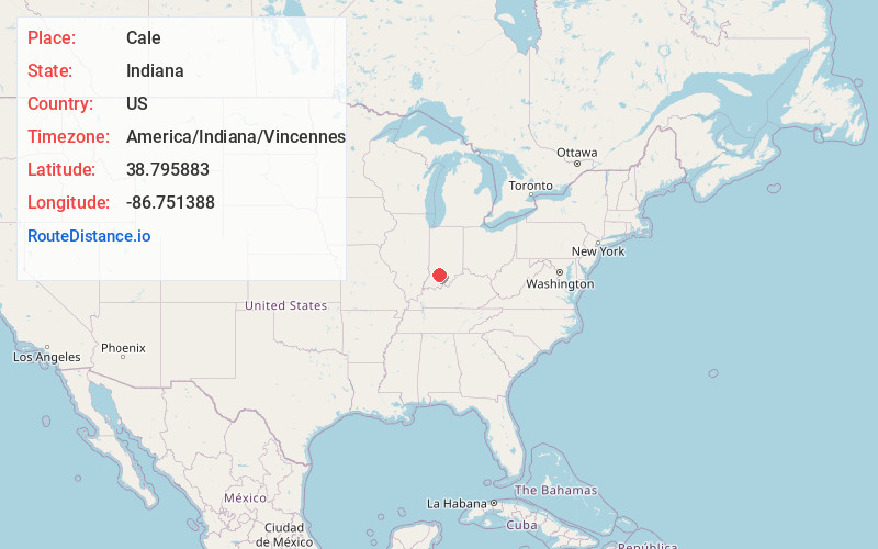
Full AddressCale, IN 47581
-
Coordinates38.7958829, -86.7513884
-
LocationCale , Indiana , US
-
TimezoneAmerica/Indiana/Vincennes
-
Current Local Time4:29:28 AM America/Indiana/VincennesFriday, June 20, 2025
-
Page Views0
About Cale
Cale is an unincorporated community in Mitcheltree Township, Martin County, in the U.S. state of Indiana.
Nearby Places
Found 10 places within 50 miles

Dover Hill
5.6 mi
9.0 km
Dover Hill, IN 47581
Get directions

Williams
5.6 mi
9.0 km
Williams, IN 47470
Get directions
Huron
6.7 mi
10.8 km
Huron, IN
Get directions
Burns City
7.5 mi
12.1 km
Burns City, IN 47553
Get directions

Owensburg
8.9 mi
14.3 km
Owensburg, IN
Get directions

Shoals
9.2 mi
14.8 km
Shoals, IN 47581
Get directions
Crane
10.5 mi
16.9 km
Crane, IN 47522
Get directions
Raglesville
11.3 mi
18.2 km
Raglesville, IN 47562
Get directions
Scotland
11.5 mi
18.5 km
Scotland, IN
Get directions

Loogootee
12.0 mi
19.3 km
Loogootee, IN 47553
Get directions
Location Links
Local Weather
Weather Information
Coming soon!
Location Map
Static map view of Cale, Indiana
Browse Places by Distance
Places within specific distances from Cale
Short Distances
Long Distances
Click any distance to see all places within that range from Cale. Distances shown in miles (1 mile ≈ 1.61 kilometers).