Distance to Calverton, Virginia

Calculating Your Route
Just a moment while we process your request...
Location Information
-
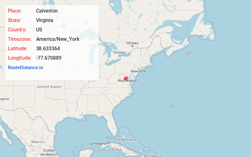
Full AddressCalverton, VA
-
Coordinates38.6333643, -77.670889
-
LocationCalverton , Virginia , US
-
TimezoneAmerica/New_York
-
Current Local Time5:52:36 AM America/New_YorkSunday, June 22, 2025
-
Page Views0
About Calverton
Calverton is a census-designated place in Fauquier County, Virginia, United States. The population as of the 2010 census was 239. The village runs along Virginia State Route 28 and its crossroad, Bristersburg Road. Calverton has a Southern States store, a small country store, and post office. Its ZIP code is 20138.
Nearby Places
Found 10 places within 50 miles

Catlett
2.2 mi
3.5 km
Catlett, VA 20119
Get directions

Midland
3.9 mi
6.3 km
Midland, VA 22728
Get directions

Bealeton
6.3 mi
10.1 km
Bealeton, VA 22712
Get directions

Nokesville
6.7 mi
10.8 km
Nokesville, VA 20181
Get directions

Opal
7.0 mi
11.3 km
Opal, VA
Get directions

Warrenton
8.7 mi
14.0 km
Warrenton, VA
Get directions
New Baltimore
9.8 mi
15.8 km
New Baltimore, VA
Get directions

Remington
10.1 mi
16.3 km
Remington, VA
Get directions

Gainesville
11.6 mi
18.7 km
Gainesville, VA
Get directions

Haymarket
12.5 mi
20.1 km
Haymarket, VA
Get directions
Location Links
Local Weather
Weather Information
Coming soon!
Location Map
Static map view of Calverton, Virginia
Browse Places by Distance
Places within specific distances from Calverton
Short Distances
Long Distances
Click any distance to see all places within that range from Calverton. Distances shown in miles (1 mile ≈ 1.61 kilometers).