Distance to Camp Immaculate Heart, Massachusetts

Calculating Your Route
Just a moment while we process your request...
Location Information
-
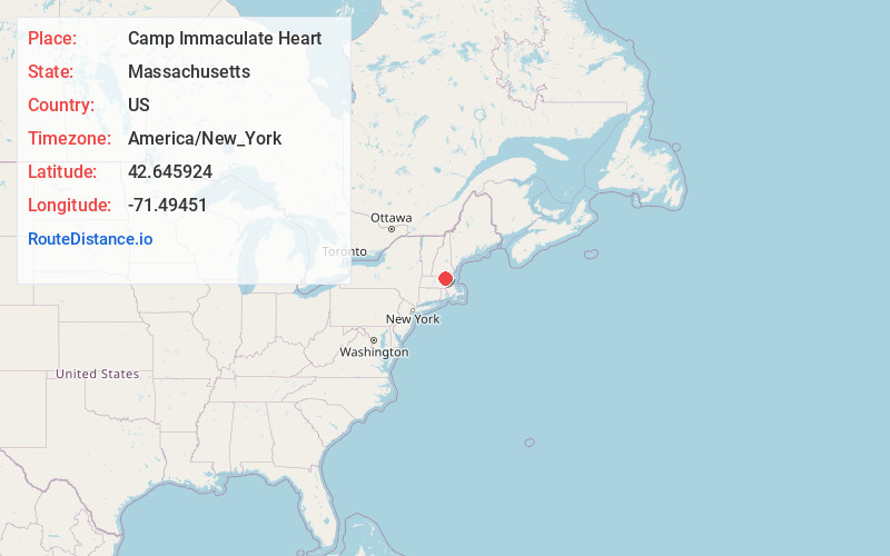
Full AddressCamp Immaculate Heart, Tyngsborough, MA 01879
-
Coordinates42.6459235, -71.4945101
-
LocationTyngsborough , Massachusetts , US
-
TimezoneAmerica/New_York
-
Current Local Time12:19:59 AM America/New_YorkFriday, June 6, 2025
-
Page Views0
Nearby Places
Found 10 places within 50 miles

Dunstable
2.1 mi
3.4 km
Dunstable, MA 01827
Get directions

Nabnasset Pond
3.9 mi
6.3 km
Nabnasset Pond, Westford, MA 01886
Get directions

Tyngsborough
4.1 mi
6.6 km
Tyngsborough, MA
Get directions

Groton
4.7 mi
7.6 km
Groton, MA
Get directions

Pepperell
5.0 mi
8.0 km
Pepperell, MA 01463
Get directions

Westford
5.3 mi
8.5 km
Westford, MA 01886
Get directions

Hollis Depot
5.4 mi
8.7 km
Hollis Depot, Hollis, NH 03049
Get directions

Littleton
7.6 mi
12.2 km
Littleton, MA
Get directions
West Hollis
7.6 mi
12.2 km
West Hollis, Hollis, NH 03049
Get directions
Varnumtown
7.7 mi
12.4 km
Varnumtown, Pelham, NH 03076
Get directions
Location Links
Local Weather
Weather Information
Coming soon!
Location Map
Static map view of Camp Immaculate Heart, Massachusetts
Browse Places by Distance
Places within specific distances from Camp Immaculate Heart
Short Distances
Long Distances
Click any distance to see all places within that range from Camp Immaculate Heart. Distances shown in miles (1 mile ≈ 1.61 kilometers).