Distance to Camp Ripley Junction, Minnesota

Calculating Your Route
Just a moment while we process your request...
Location Information
-
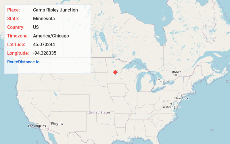
Full AddressCamp Ripley Junction, MN 56345
-
Coordinates46.0702439, -94.3283347
-
LocationCamp Ripley Junction , Minnesota , US
-
TimezoneAmerica/Chicago
-
Current Local Time10:45:14 AM America/ChicagoSaturday, May 31, 2025
-
Page Views0
Nearby Places
Found 10 places within 50 miles

Belle Prairie Township
4.4 mi
7.1 km
Belle Prairie Township, MN
Get directions

Darling Township
4.8 mi
7.7 km
Darling Township, MN
Get directions
Freedhem
5.8 mi
9.3 km
Freedhem, MN 56345
Get directions

Little Falls
6.5 mi
10.5 km
Little Falls, MN 56345
Get directions
Fort Ripley
6.8 mi
10.9 km
Fort Ripley, MN 56449
Get directions
Randall
8.3 mi
13.4 km
Randall, MN 56475
Get directions
Gregory
9.1 mi
14.6 km
Gregory, MN 56345
Get directions

St Mathias Township
9.4 mi
15.1 km
St Mathias Township, MN
Get directions
St Mathias
11.2 mi
18.0 km
St Mathias, MN 56449
Get directions
Vawter
11.6 mi
18.7 km
Vawter, MN 56373
Get directions
Location Links
Local Weather
Weather Information
Coming soon!
Location Map
Static map view of Camp Ripley Junction, Minnesota
Browse Places by Distance
Places within specific distances from Camp Ripley Junction
Short Distances
Long Distances
Click any distance to see all places within that range from Camp Ripley Junction. Distances shown in miles (1 mile ≈ 1.61 kilometers).