Distance to Darling Township, Minnesota

Calculating Your Route
Just a moment while we process your request...
Location Information
-
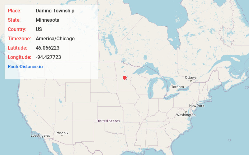
Full AddressDarling Township, MN
-
Coordinates46.0662229, -94.4277226
-
LocationDarling Township , Minnesota , US
-
TimezoneAmerica/Chicago
-
Current Local Time2:13:06 AM America/ChicagoSunday, May 25, 2025
-
Page Views0
About Darling Township
Darling Township is a township in Morrison County, Minnesota, United States. The population was 600 at the 2000 census.
Darling Township was originally called Randall Township, and under the latter name was organized in 1891. The present name adopted in 1907, is for William L. Darling, a railroad official.
Nearby Places
Found 10 places within 50 miles

Randall
3.8 mi
6.1 km
Randall, MN 56475
Get directions

Little Falls
6.5 mi
10.5 km
Little Falls, MN 56345
Get directions
Fort Ripley
7.6 mi
12.2 km
Fort Ripley, MN 56449
Get directions

Belle Prairie Township
8.7 mi
14.0 km
Belle Prairie Township, MN
Get directions
Cushing
8.8 mi
14.2 km
Cushing, MN 56443
Get directions

Flensburg
9.2 mi
14.8 km
Flensburg, MN
Get directions
Gregory
9.4 mi
15.1 km
Gregory, MN 56345
Get directions
Sobieski
9.9 mi
15.9 km
Sobieski, MN 56345
Get directions
Freedhem
10.5 mi
16.9 km
Freedhem, MN 56345
Get directions
Lennox
12.9 mi
20.8 km
Lennox, MN 56401
Get directions
Location Links
Local Weather
Weather Information
Coming soon!
Location Map
Static map view of Darling Township, Minnesota
Browse Places by Distance
Places within specific distances from Darling Township
Short Distances
Long Distances
Click any distance to see all places within that range from Darling Township. Distances shown in miles (1 mile ≈ 1.61 kilometers).