Distance to Campbell, Missouri

Calculating Your Route
Just a moment while we process your request...
Location Information
-
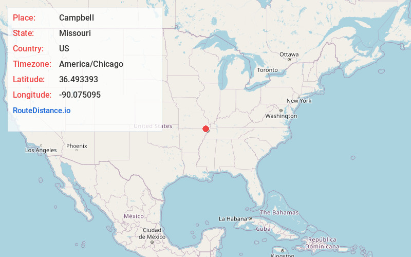
Full AddressCampbell, MO 63933
-
Coordinates36.4933927, -90.0750949
-
LocationCampbell , Missouri , US
-
TimezoneAmerica/Chicago
-
Current Local Time2:45:45 AM America/ChicagoThursday, June 19, 2025
-
Page Views0
About Campbell
Campbell is a city in northern Dunklin County, Missouri, United States. The population was 1,992 at the 2010 census.


Nearby Places
Found 10 places within 50 miles

Malden
7.5 mi
12.1 km
Malden, MO 63863
Get directions

Piggott
10.0 mi
16.1 km
Piggott, AR 72454
Get directions

Bernie
13.5 mi
21.7 km
Bernie, MO 63822
Get directions

Kennett
17.8 mi
28.6 km
Kennett, MO 63857
Get directions

Rector
20.0 mi
32.2 km
Rector, AR 72461
Get directions

Portageville
21.4 mi
34.4 km
Portageville, MO 63873
Get directions

Dexter
21.9 mi
35.2 km
Dexter, MO 63841
Get directions

Poplar Bluff
25.3 mi
40.7 km
Poplar Bluff, MO 63901
Get directions

Hayti
25.5 mi
41.0 km
Hayti, MO 63851
Get directions

Bloomfield
28.3 mi
45.5 km
Bloomfield, MO 63825
Get directions
Location Links
Local Weather
Weather Information
Coming soon!
Location Map
Static map view of Campbell, Missouri
Browse Places by Distance
Places within specific distances from Campbell
Short Distances
Long Distances
Click any distance to see all places within that range from Campbell. Distances shown in miles (1 mile ≈ 1.61 kilometers).