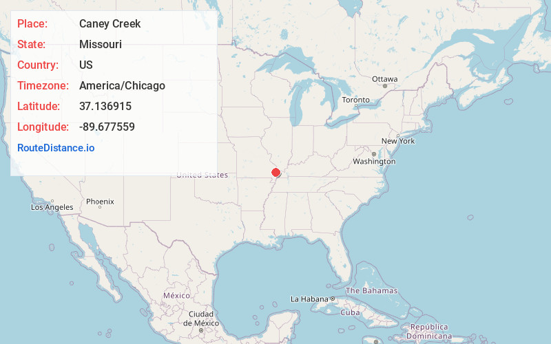
Distance to Caney Creek, Missouri

Calculating Your Route
Just a moment while we process your request...
Location Information
-
Full AddressCaney Creek, Missouri
-
Coordinates37.1369152, -89.6775587
-
LocationMissouri , US
-
TimezoneAmerica/Chicago
-
Current Local Time1:59:40 PM America/ChicagoWednesday, June 18, 2025
-
Page Views0
Nearby Places
Found 10 places within 50 miles

Chaffee
3.2 mi
5.1 km
Chaffee, MO 63740
Get directions

Oran
3.8 mi
6.1 km
Oran, MO 63771
Get directions

New Hamburg
4.7 mi
7.6 km
New Hamburg, MO
Get directions

Delta
5.2 mi
8.4 km
Delta, MO
Get directions
Blomeyer
6.1 mi
9.8 km
Blomeyer, Welch Township, MO 63701
Get directions
Perkins
6.1 mi
9.8 km
Perkins, MO 63771
Get directions
Cliff
6.5 mi
10.5 km
Cliff, Welch Township, MO 63730
Get directions

Benton
6.9 mi
11.1 km
Benton, MO 63736
Get directions

Scott County
7.3 mi
11.7 km
Scott County, MO
Get directions
Allenville
7.3 mi
11.7 km
Allenville, MO
Get directions
Location Links
Local Weather
Weather Information
Coming soon!
Location Map
Static map view of Caney Creek, Missouri
Browse Places by Distance
Places within specific distances from Caney Creek
Short Distances
Long Distances
Click any distance to see all places within that range from Caney Creek. Distances shown in miles (1 mile ≈ 1.61 kilometers).