Distance to Scott County, Missouri

Calculating Your Route
Just a moment while we process your request...
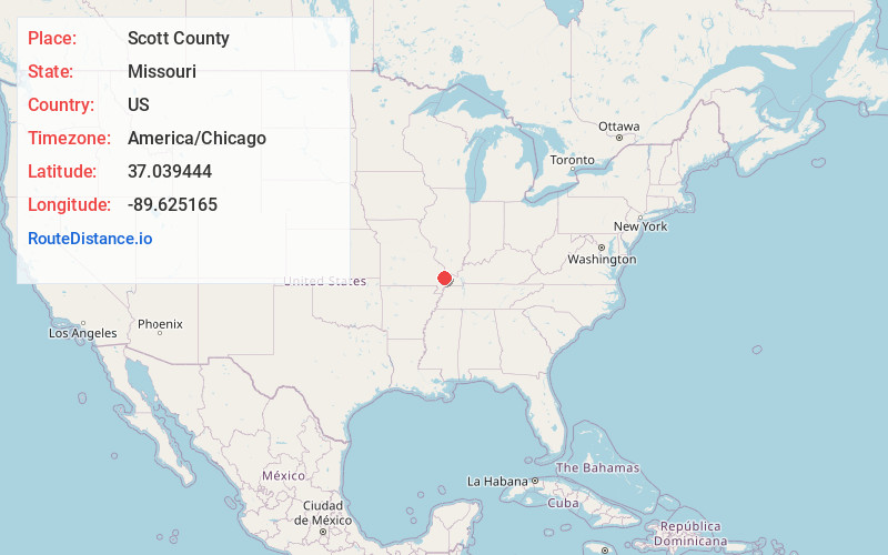
Location Information
-
Full AddressScott County, MO
-
Coordinates37.0394443, -89.6251646
-
LocationMissouri , US
-
TimezoneAmerica/Chicago
-
Current Local Time12:54:01 PM America/ChicagoWednesday, June 18, 2025
-
Page Views0
About Scott County
Scott County is a county located in the southeastern portion of the U.S. state of Missouri. As of the 2020 census, the population was 38,059. Its county seat is Benton. The county was organized in 1821 and named for U.S. Representative John Scott, the first federal representative from Missouri.


Nearby Places
Found 10 places within 50 miles

Morley
0.9 mi
1.4 km
Morley, MO
Get directions

Haywood City
2.3 mi
3.7 km
Haywood City, MO 63771
Get directions

Oran
3.6 mi
5.8 km
Oran, MO 63771
Get directions

Vanduser
4.7 mi
7.6 km
Vanduser, MO 63784
Get directions

Benton
5.3 mi
8.5 km
Benton, MO 63736
Get directions
Lambert
5.4 mi
8.7 km
Lambert, MO 63736
Get directions
McMullin
5.9 mi
9.5 km
McMullin, Rootwad Township, MO 63801
Get directions
Blodgett
5.9 mi
9.5 km
Blodgett, MO 63801
Get directions
New Hamburg
6.3 mi
10.1 km
New Hamburg, MO
Get directions
Perkins
9.1 mi
14.6 km
Perkins, MO 63771
Get directions
Location Links
Local Weather
Weather Information
Coming soon!
Location Map
Static map view of Scott County, Missouri
Browse Places by Distance
Places within specific distances from Scott County
Short Distances
Long Distances
Click any distance to see all places within that range from Scott County. Distances shown in miles (1 mile ≈ 1.61 kilometers).