Distance to Cannon City, Minnesota

Calculating Your Route
Just a moment while we process your request...
Location Information
-
Full AddressCannon City, MN 55021
-
Coordinates44.3291307, -93.2113256
-
LocationCannon City , Minnesota , US
-
TimezoneAmerica/Chicago
-
Current Local Time11:34:31 AM America/ChicagoThursday, June 19, 2025
-
Page Views0
About Cannon City
Cannon City is an unincorporated community in Cannon City Township, Rice County, Minnesota, United States, five miles northeast of Faribault.
The community is located at the junction of Rice County Road 20 and Crystal Lake Trail.
Cannon City was platted in 1855, and named after the nearby Cannon River.
Nearby Places
Found 10 places within 50 miles

Faribault
3.7 mi
6.0 km
Faribault, MN 55021
Get directions

Dundas
6.9 mi
11.1 km
Dundas, MN
Get directions

Nerstrand
7.1 mi
11.4 km
Nerstrand, MN 55053
Get directions

Northfield
9.3 mi
15.0 km
Northfield, MN 55057
Get directions

Dennison
10.1 mi
16.3 km
Dennison, MN 55018
Get directions

Shieldsville
10.1 mi
16.3 km
Shieldsville, MN 55021
Get directions

Warsaw
10.6 mi
17.1 km
Warsaw, MN
Get directions

Medford
10.9 mi
17.5 km
Medford, MN 55049
Get directions

Kenyon
11.8 mi
19.0 km
Kenyon, MN 55946
Get directions
Wangs
12.6 mi
20.3 km
Wangs, Warsaw Township, MN 55018
Get directions
Location Links
Local Weather
Weather Information
Coming soon!
Location Map
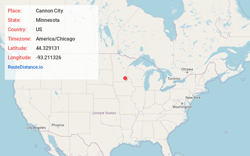
Static map view of Cannon City, Minnesota
Browse Places by Distance
Places within specific distances from Cannon City
Short Distances
Long Distances
Click any distance to see all places within that range from Cannon City. Distances shown in miles (1 mile ≈ 1.61 kilometers).