Distance to Capetown, California

Calculating Your Route
Just a moment while we process your request...
Location Information
-
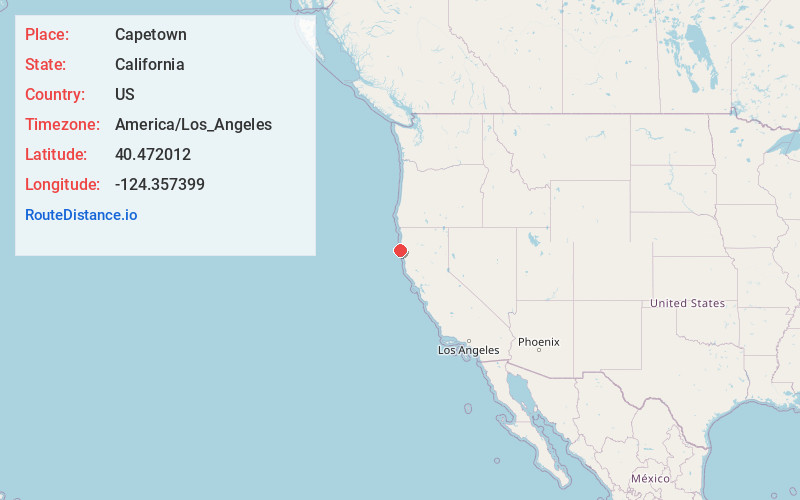
Full AddressCapetown, CA 95536
-
Coordinates40.472012, -124.357399
-
LocationCapetown , California , US
-
TimezoneAmerica/Los_Angeles
-
Current Local Time11:45:42 PM America/Los_AngelesTuesday, July 1, 2025
-
Page Views0
About Capetown
Capetown is a locality in Humboldt County, California. It is located on the Bear River 3 miles northeast of Cape Mendocino, at an elevation of 49 feet.
The Gas Jet post office operated from 1868 to 1876. The name referred to escaping gas from an oil well.
Nearby Places
Found 10 places within 50 miles

Ferndale
8.7 mi
14.0 km
Ferndale, CA 95536
Get directions

Port Kenyon
9.4 mi
15.1 km
Port Kenyon, CA 95536
Get directions

Petrolia
10.8 mi
17.4 km
Petrolia, CA 95536
Get directions
Worswick
13.0 mi
20.9 km
Worswick, CA 95540
Get directions

Rio Dell
13.3 mi
21.4 km
Rio Dell, CA
Get directions

Scotia
13.4 mi
21.6 km
Scotia, CA
Get directions

Loleta
13.6 mi
21.9 km
Loleta, CA
Get directions

Fortuna
13.7 mi
22.0 km
Fortuna, CA 95540
Get directions

Hydesville
14.6 mi
23.5 km
Hydesville, CA
Get directions
Stafford
15.7 mi
25.3 km
Stafford, CA 95565
Get directions
Location Links
Local Weather
Weather Information
Coming soon!
Location Map
Static map view of Capetown, California
Browse Places by Distance
Places within specific distances from Capetown
Short Distances
Long Distances
Click any distance to see all places within that range from Capetown. Distances shown in miles (1 mile ≈ 1.61 kilometers).