Distance to Petrolia, California

Calculating Your Route
Just a moment while we process your request...
Location Information
-
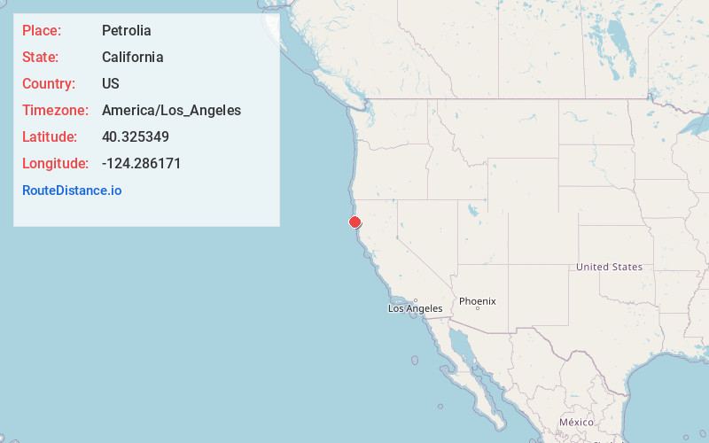
Full AddressPetrolia, CA 95536
-
Coordinates40.3253487, -124.2861705
-
LocationPetrolia , California , US
-
TimezoneAmerica/Los_Angeles
-
Current Local Time7:12:51 AM America/Los_AngelesSaturday, June 28, 2025
-
Page Views0
About Petrolia
Petrolia is an unincorporated community in Humboldt County, California, 10 miles southeast of Cape Mendocino. The site of the first oil well drilled in California, it lies at an elevation of 121 feet above sea level, within ZIP Code 95558, and area code 707.


Nearby Places
Found 10 places within 50 miles

Bull Creek
13.7 mi
22.0 km
Bull Creek, CA 95545
Get directions

Scotia
14.6 mi
23.5 km
Scotia, CA
Get directions

Rio Dell
15.3 mi
24.6 km
Rio Dell, CA
Get directions

Ferndale
17.4 mi
28.0 km
Ferndale, CA 95536
Get directions

Pepperwood
17.7 mi
28.5 km
Pepperwood, CA 95565
Get directions
Shively
18.2 mi
29.3 km
Shively, CA 95565
Get directions

Hydesville
18.3 mi
29.5 km
Hydesville, CA
Get directions

Redcrest
18.5 mi
29.8 km
Redcrest, CA 95569
Get directions
Port Kenyon
18.7 mi
30.1 km
Port Kenyon, CA 95536
Get directions

Carlotta
18.9 mi
30.4 km
Carlotta, CA 95528
Get directions
Location Links
Local Weather
Weather Information
Coming soon!
Location Map
Static map view of Petrolia, California
Browse Places by Distance
Places within specific distances from Petrolia
Short Distances
Long Distances
Click any distance to see all places within that range from Petrolia. Distances shown in miles (1 mile ≈ 1.61 kilometers).