Distance to Carlotta, California

Calculating Your Route
Just a moment while we process your request...
Location Information
-
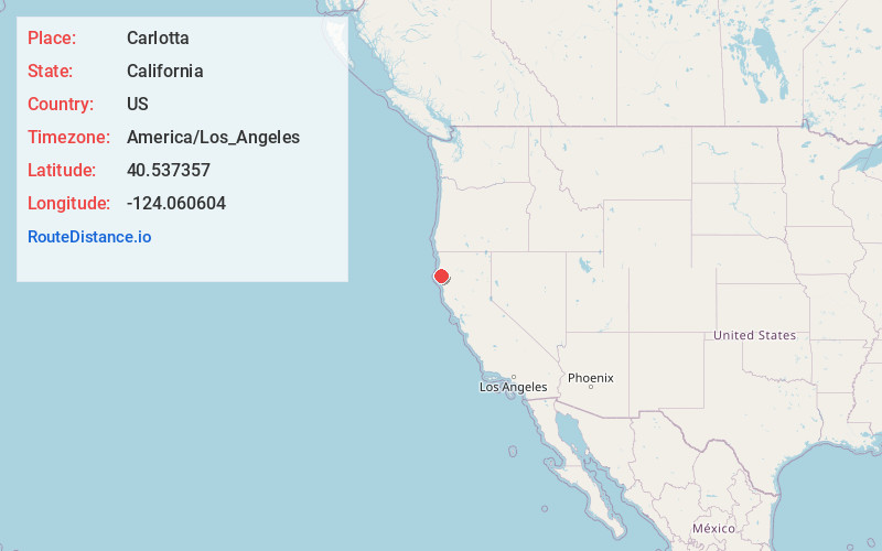
Full AddressCarlotta, CA 95528
-
Coordinates40.537357, -124.0606039
-
LocationCarlotta , California , US
-
TimezoneAmerica/Los_Angeles
-
Current Local Time11:35:30 PM America/Los_AngelesSaturday, June 21, 2025
-
Page Views0
About Carlotta
Carlotta is an unincorporated community in Humboldt County, California. It is located 6.5 miles southeast of Fortuna, at an elevation of 131 feet, about 5 miles east of US Route 101 on California State Route 36.

Nearby Places
Found 10 places within 50 miles

Hydesville
2.1 mi
3.4 km
Hydesville, CA
Get directions

Rio Dell
3.6 mi
5.8 km
Rio Dell, CA
Get directions

Scotia
4.3 mi
6.9 km
Scotia, CA
Get directions

Fortuna
6.6 mi
10.6 km
Fortuna, CA 95540
Get directions

Ferndale
11.0 mi
17.7 km
Ferndale, CA 95536
Get directions

Redcrest
11.1 mi
17.9 km
Redcrest, CA 95569
Get directions

Loleta
11.3 mi
18.2 km
Loleta, CA
Get directions

Port Kenyon
12.4 mi
20.0 km
Port Kenyon, CA 95536
Get directions

Humboldt Hill
14.7 mi
23.7 km
Humboldt Hill, CA 95503
Get directions

Fields Landing
15.4 mi
24.8 km
Fields Landing, CA
Get directions
Location Links
Local Weather
Weather Information
Coming soon!
Location Map
Static map view of Carlotta, California
Browse Places by Distance
Places within specific distances from Carlotta
Short Distances
Long Distances
Click any distance to see all places within that range from Carlotta. Distances shown in miles (1 mile ≈ 1.61 kilometers).