Distance to and from Carrsville, Virginia
Carrsville, VA 23315
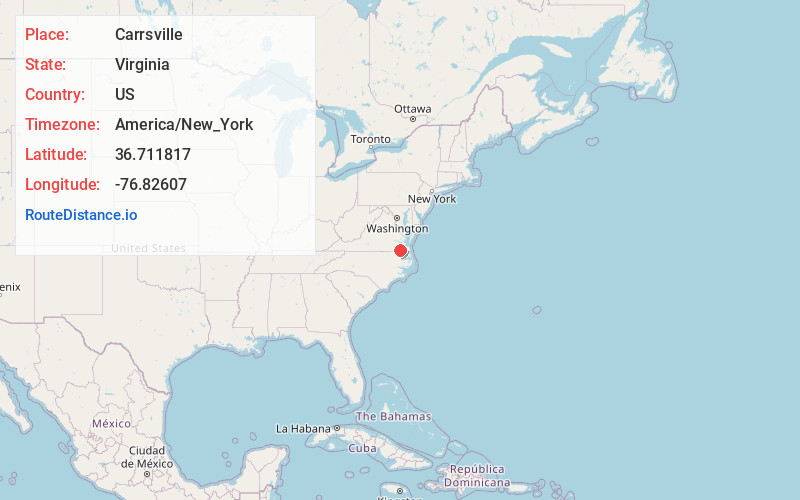
Carrsville
Virginia
US
America/New_York
Location Information
-
Full AddressCarrsville, VA 23315
-
Coordinates36.7118171, -76.8260701
-
LocationCarrsville , Virginia , US
-
TimezoneAmerica/New_York
-
Current Local Time10:00:19 AM America/New_YorkSaturday, May 3, 2025
-
Page Views0
Directions to Nearest Cities
About Carrsville
Carrsville is a census-designated place in Isle of Wight County in the Hampton Roads region of southeastern Virginia, United States. The population as of the 2010 Census was 359. The town is named for Jesse Carr, whose family had long roots in Isle of Wight County.
Nearby Places
Found 10 places within 50 miles

Camptown
5.2 mi
8.4 km
Camptown, VA 23851
Get directions

Franklin
5.8 mi
9.3 km
Franklin, VA 23851
Get directions

Windsor
8.1 mi
13.0 km
Windsor, VA 23487
Get directions
Sedley
9.8 mi
15.8 km
Sedley, VA
Get directions
Courtland
13.4 mi
21.6 km
Courtland, VA 23837
Get directions

Suffolk
13.5 mi
21.7 km
Suffolk, VA
Get directions
Ivor
13.9 mi
22.4 km
Ivor, VA 23866
Get directions

Newsoms
17.6 mi
28.3 km
Newsoms, VA
Get directions

Wakefield
19.9 mi
32.0 km
Wakefield, VA 23888
Get directions
Benns Church
20.5 mi
33.0 km
Benns Church, VA
Get directions
Camptown
5.2 mi
8.4 km
Camptown, VA 23851
Franklin
5.8 mi
9.3 km
Franklin, VA 23851
Windsor
8.1 mi
13.0 km
Windsor, VA 23487
Sedley
9.8 mi
15.8 km
Sedley, VA
Courtland
13.4 mi
21.6 km
Courtland, VA 23837
Suffolk
13.5 mi
21.7 km
Suffolk, VA
Ivor
13.9 mi
22.4 km
Ivor, VA 23866
Newsoms
17.6 mi
28.3 km
Newsoms, VA
Wakefield
19.9 mi
32.0 km
Wakefield, VA 23888
Benns Church
20.5 mi
33.0 km
Benns Church, VA
Location Links
Local Weather
Weather Information
Coming soon!
Location Map
Static map view of Carrsville, Virginia
Browse Places by Distance
Places within specific distances from Carrsville
Short Distances
Long Distances
Click any distance to see all places within that range from Carrsville. Distances shown in miles (1 mile ≈ 1.61 kilometers).