Distance to Castaneda, Oklahoma

Calculating Your Route
Just a moment while we process your request...
Location Information
-
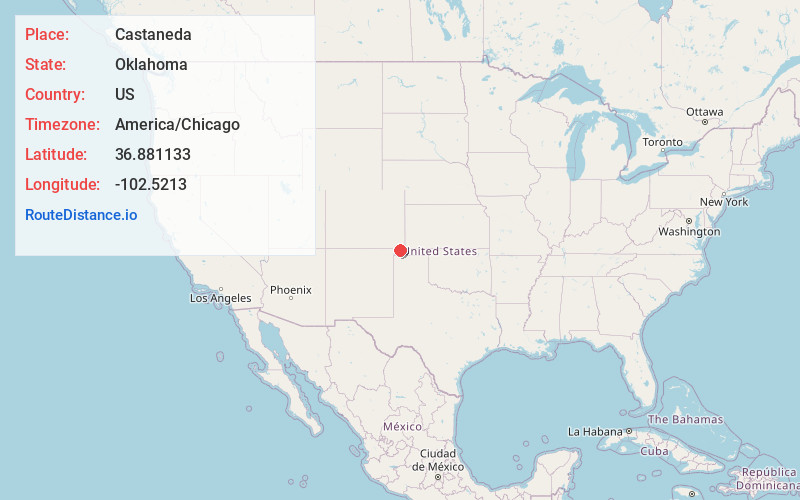
Full AddressCastaneda, OK 73933
-
Coordinates36.8811325, -102.5212996
-
LocationOklahoma , US
-
TimezoneAmerica/Chicago
-
Current Local Time10:44:45 AM America/ChicagoSaturday, May 31, 2025
-
Page Views0
Nearby Places
Found 10 places within 50 miles

Boise City
10.5 mi
16.9 km
Boise City, OK 73933
Get directions

Keyes
15.5 mi
24.9 km
Keyes, OK 73947
Get directions

Campo
15.8 mi
25.4 km
Campo, CO 81029
Get directions
Regnier
20.1 mi
32.3 km
Regnier, OK 73946
Get directions
Wheeless
23.5 mi
37.8 km
Wheeless, OK 73933
Get directions

Kenton
24.5 mi
39.4 km
Kenton, OK 73946
Get directions
Edler
24.8 mi
39.9 km
Edler, CO 81073
Get directions
Hopkins
24.9 mi
40.1 km
Hopkins, OK 73947
Get directions
Sturgis
25.0 mi
40.2 km
Sturgis, OK 73947
Get directions

Felt
26.6 mi
42.8 km
Felt, OK 73937
Get directions
Location Links
Local Weather
Weather Information
Coming soon!
Location Map
Static map view of Castaneda, Oklahoma
Browse Places by Distance
Places within specific distances from Castaneda
Short Distances
Long Distances
Click any distance to see all places within that range from Castaneda. Distances shown in miles (1 mile ≈ 1.61 kilometers).