Distance to Cawelo, California

Calculating Your Route
Just a moment while we process your request...
Location Information
-
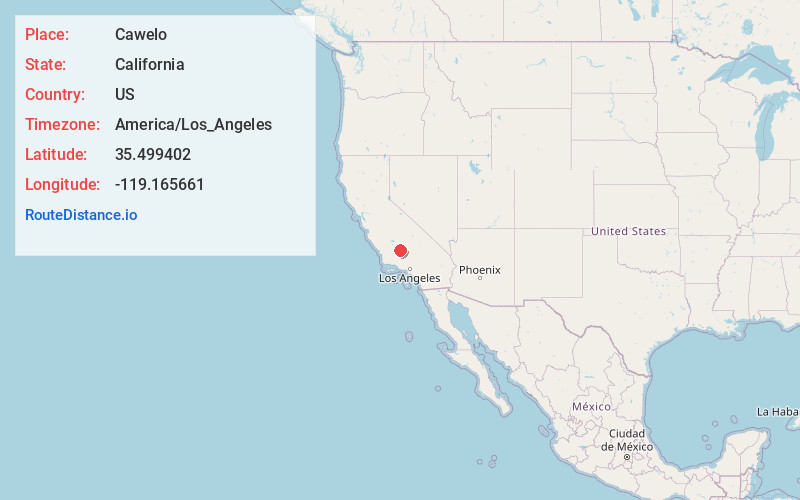
Full AddressCawelo, Shafter, CA 93314
-
Coordinates35.4994017, -119.1656608
-
LocationShafter , California , US
-
TimezoneAmerica/Los_Angeles
-
Current Local Time8:11:42 PM America/Los_AngelesThursday, June 5, 2025
-
Page Views0
About Cawelo
Cawelo is an unincorporated community in Kern County, California. It is located on the Southern Pacific Railroad at an elevation of 427 feet. Cawelo is approximately 2 miles east of Shafter-Minter Field, 6.5 miles east of central Shafter, and 13 miles northwest of Bakersfield. Its ZIP Code is 93263.
Nearby Places
Found 10 places within 50 miles

Lerdo
1.0 mi
1.6 km
Lerdo, CA 93314
Get directions
Minter Village
1.0 mi
1.6 km
Minter Village, Shafter, CA 93263
Get directions
Prospero
2.9 mi
4.7 km
Prospero, CA 93314
Get directions
Slater
3.9 mi
6.3 km
Slater, CA 93308
Get directions
Saco
5.6 mi
9.0 km
Saco, CA 93314
Get directions
Cherokee Strip
5.8 mi
9.3 km
Cherokee Strip, CA 93263
Get directions

Shafter
6.1 mi
9.8 km
Shafter, CA
Get directions
Smith Corner
6.5 mi
10.5 km
Smith Corner, CA 93263
Get directions

Rosedale
8.1 mi
13.0 km
Rosedale, CA
Get directions
Greenacres
8.6 mi
13.8 km
Greenacres, CA 93312
Get directions
Location Links
Local Weather
Weather Information
Coming soon!
Location Map
Static map view of Cawelo, California
Browse Places by Distance
Places within specific distances from Cawelo
Short Distances
Long Distances
Click any distance to see all places within that range from Cawelo. Distances shown in miles (1 mile ≈ 1.61 kilometers).