Distance to Cedar Springs, Arizona

Calculating Your Route
Just a moment while we process your request...
Location Information
-
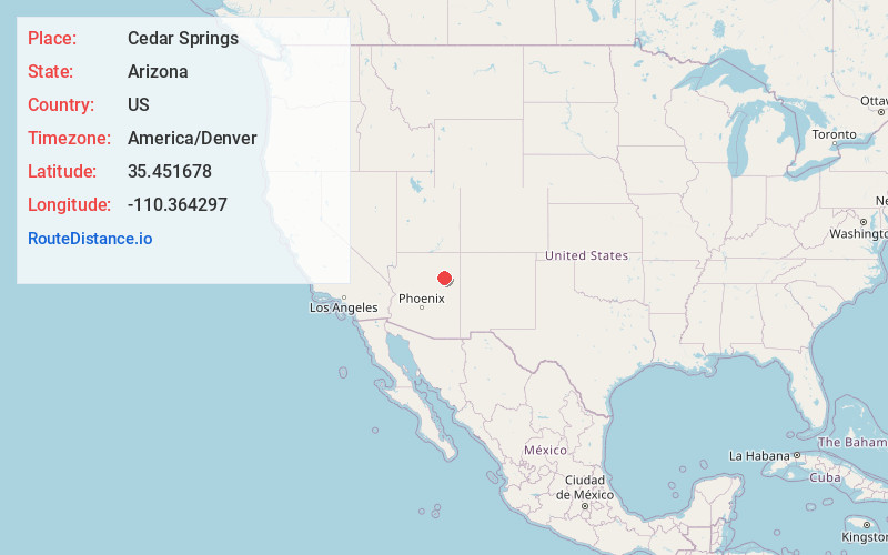
Full AddressCedar Springs, AZ 86047
-
Coordinates35.4516778, -110.3642966
-
LocationArizona , US
-
TimezoneAmerica/Denver
-
Current Local Time5:21:09 AM America/DenverSunday, June 22, 2025
-
Page Views0
Nearby Places
Found 10 places within 50 miles

Dilkon
5.2 mi
8.4 km
Dilkon, AZ 86047
Get directions

Seba Dalkai
5.8 mi
9.3 km
Seba Dalkai, AZ 86047
Get directions
Castle Butte
10.2 mi
16.4 km
Castle Butte, AZ 86047
Get directions

Na Ah Tee
12.5 mi
20.1 km
Na Ah Tee, AZ 86031
Get directions

Indian Wells
15.7 mi
25.3 km
Indian Wells, AZ 86031
Get directions

Whitecone
19.8 mi
31.9 km
Whitecone, AZ
Get directions

Second Mesa
24.9 mi
40.1 km
Second Mesa, AZ 86043
Get directions
Pink Arrow
25.3 mi
40.7 km
Pink Arrow, Jeddito, AZ 86034
Get directions
Jeddito
25.7 mi
41.4 km
Jeddito, AZ 86034
Get directions
Nesuftanga
25.9 mi
41.7 km
Nesuftanga, Jeddito, AZ 86034
Get directions
Location Links
Local Weather
Weather Information
Coming soon!
Location Map
Static map view of Cedar Springs, Arizona
Browse Places by Distance
Places within specific distances from Cedar Springs
Short Distances
Long Distances
Click any distance to see all places within that range from Cedar Springs. Distances shown in miles (1 mile ≈ 1.61 kilometers).