Distance to Central Pacolet, South Carolina

Calculating Your Route
Just a moment while we process your request...
Location Information
-
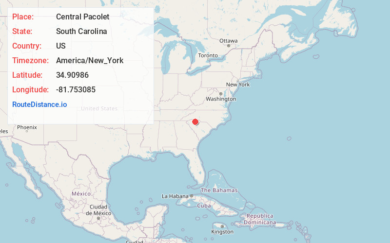
Full AddressCentral Pacolet, SC 29372
-
Coordinates34.9098596, -81.7530847
-
LocationCentral Pacolet , South Carolina , US
-
TimezoneAmerica/New_York
-
Current Local Time4:36:29 PM America/New_YorkThursday, June 19, 2025
-
Page Views0
About Central Pacolet
Central Pacolet is a town in Spartanburg County, South Carolina, United States, along the Pacolet River. The population was 216 at the 2010 census.

Nearby Places
Found 10 places within 50 miles

Pacolet
1.0 mi
1.6 km
Pacolet, SC
Get directions

Glendale
5.3 mi
8.5 km
Glendale, SC
Get directions

Camp Croft
5.7 mi
9.2 km
Camp Croft, SC 29302
Get directions
Clifton
6.1 mi
9.8 km
Clifton, SC
Get directions

Jonesville
6.5 mi
10.5 km
Jonesville, SC 29353
Get directions
Converse
7.3 mi
11.7 km
Converse, SC
Get directions
Ben Avon
7.4 mi
11.9 km
Ben Avon, SC 29302
Get directions

Cowpens
7.9 mi
12.7 km
Cowpens, SC 29330
Get directions

Pauline
8.6 mi
13.8 km
Pauline, SC
Get directions
Drayton
9.6 mi
15.4 km
Drayton, SC
Get directions
Location Links
Local Weather
Weather Information
Coming soon!
Location Map
Static map view of Central Pacolet, South Carolina
Browse Places by Distance
Places within specific distances from Central Pacolet
Short Distances
Long Distances
Click any distance to see all places within that range from Central Pacolet. Distances shown in miles (1 mile ≈ 1.61 kilometers).