Distance to Chain O’ Lakes State Park, Indiana

Calculating Your Route
Just a moment while we process your request...
Location Information
-
Full AddressChain O’ Lakes State Park, 2355 E 75 S, Albion, IN 46701
-
Coordinates41.3334236, -85.3817365
-
Street2355 E 75 S
-
LocationAlbion , Indiana , US
-
TimezoneAmerica/Indianapolis
-
Website
-
Page Views0
About Chain O’ Lakes State Park
Nine lakes for boating, fishing & swimming, plus hiking trails, nature center, campgrounds & cabins.


Nearby Places
Found 10 places within 50 miles

Albion
4.8 mi
7.7 km
Albion, IN 46701
Get directions

Tri-Lakes
6.9 mi
11.1 km
Tri-Lakes, IN 46725
Get directions

Avilla
7.7 mi
12.4 km
Avilla, IN 46710
Get directions

Churubusco
7.8 mi
12.6 km
Churubusco, IN 46723
Get directions

Kendallville
9.6 mi
15.4 km
Kendallville, IN 46755
Get directions

Rome City
10.9 mi
17.5 km
Rome City, IN
Get directions

Garrett
12.8 mi
20.6 km
Garrett, IN
Get directions

Huntertown
13.1 mi
21.1 km
Huntertown, IN
Get directions
Wolcottville
13.3 mi
21.4 km
Wolcottville, IN
Get directions

Columbia City
13.4 mi
21.6 km
Columbia City, IN 46725
Get directions
Location Links
Local Weather
Weather Information
Coming soon!
Location Map
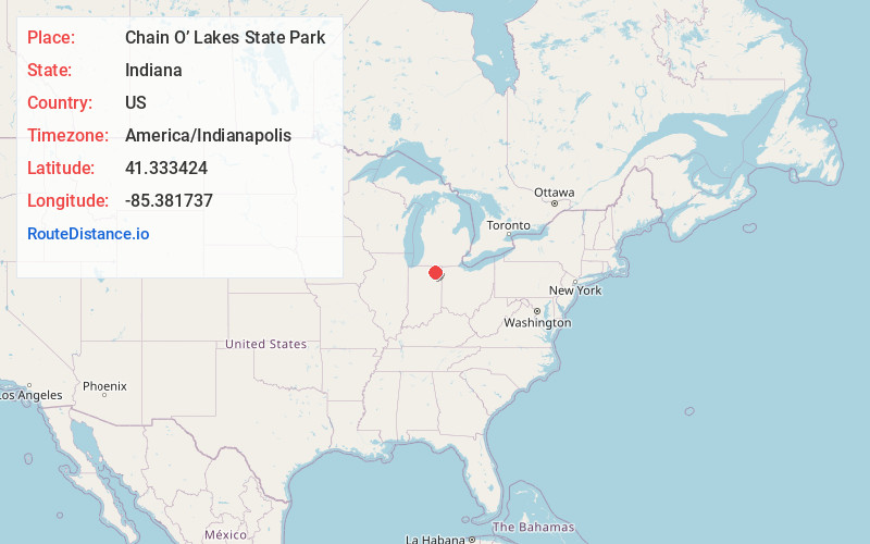
Static map view of Chain O’ Lakes State Park, Indiana
Browse Places by Distance
Places within specific distances from Chain O’ Lakes State Park
Short Distances
Long Distances
Click any distance to see all places within that range from Chain O’ Lakes State Park. Distances shown in miles (1 mile ≈ 1.61 kilometers).