Distance to Chambers, Arizona

Calculating Your Route
Just a moment while we process your request...
Location Information
-
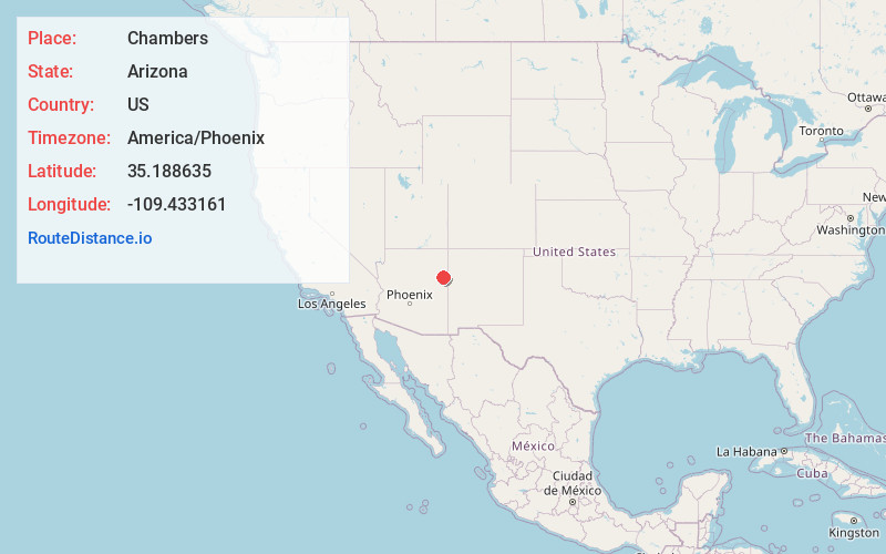
Full AddressChambers, AZ 86512
-
Coordinates35.1886352, -109.4331614
-
LocationChambers , Arizona , US
-
TimezoneAmerica/Phoenix
-
Current Local Time7:45:13 PM America/PhoenixSaturday, May 31, 2025
-
Page Views0
About Chambers
Chambers is an unincorporated community in Apache County, Arizona, United States. Chambers is located at the junction of Interstate 40 and U.S. Route 191, 45 miles northeast of Holbrook. Chambers has a post office with ZIP code 86502.


Nearby Places
Found 10 places within 50 miles

Sanders
6.1 mi
9.8 km
Sanders, AZ 86512
Get directions

Houck
14.3 mi
23.0 km
Houck, AZ
Get directions

Wide Ruin
16.3 mi
26.2 km
Wide Ruin, AZ 86502
Get directions

Klagetoh
22.3 mi
35.9 km
Klagetoh, AZ
Get directions

Lupton
24.3 mi
39.1 km
Lupton, AZ 86508
Get directions
Oak Springs
26.1 mi
42.0 km
Oak Springs, AZ 86511
Get directions

Manuelito
29.6 mi
47.6 km
Manuelito, NM 87319
Get directions
Chi Chil Tah
29.9 mi
48.1 km
Chi Chil Tah, NM 87305
Get directions
Tekapo
30.0 mi
48.3 km
Tekapo, NM
Get directions
Hunters Point Spring
32.0 mi
51.5 km
Hunters Point Spring, Arizona 86511
Get directions
Location Links
Local Weather
Weather Information
Coming soon!
Location Map
Static map view of Chambers, Arizona
Browse Places by Distance
Places within specific distances from Chambers
Short Distances
Long Distances
Click any distance to see all places within that range from Chambers. Distances shown in miles (1 mile ≈ 1.61 kilometers).