Distance to Charleston, Iowa

Calculating Your Route
Just a moment while we process your request...
Location Information
-
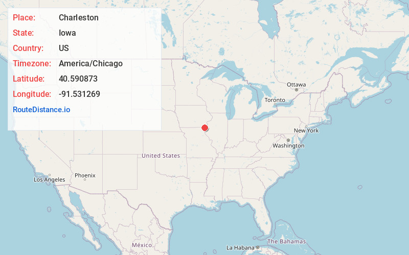
Full AddressCharleston, IA 52625
-
Coordinates40.5908728, -91.5312685
-
LocationCharleston , Iowa , US
-
TimezoneAmerica/Chicago
-
Current Local Time4:04:58 PM America/ChicagoThursday, June 19, 2025
-
Page Views0
About Charleston
Charleston is an unincorporated community in Lee County, Iowa, United States, in the state's southeastern corner. Charleston is located at 40°35′27″N 91°31′53″W.
Nearby Places
Found 10 places within 50 miles

Donnellson
4.0 mi
6.4 km
Donnellson, IA 52625
Get directions

Argyle
4.5 mi
7.2 km
Argyle, IA 52619
Get directions
Franklin
5.4 mi
8.7 km
Franklin, IA
Get directions

Montrose
7.3 mi
11.7 km
Montrose, IA 52639
Get directions

Nauvoo
8.3 mi
13.4 km
Nauvoo, IL 62354
Get directions
St Francisville
9.4 mi
15.1 km
St Francisville, MO 63472
Get directions

West Point
9.7 mi
15.6 km
West Point, IA 52656
Get directions
Revere
10.1 mi
16.3 km
Revere, MO 63465
Get directions
Mooar
11.0 mi
17.7 km
Mooar, IA 52632
Get directions

Sandusky
11.5 mi
18.5 km
Sandusky, IA 52632
Get directions
Location Links
Local Weather
Weather Information
Coming soon!
Location Map
Static map view of Charleston, Iowa
Browse Places by Distance
Places within specific distances from Charleston
Short Distances
Long Distances
Click any distance to see all places within that range from Charleston. Distances shown in miles (1 mile ≈ 1.61 kilometers).