Distance to Chenoweth, Ohio

Calculating Your Route
Just a moment while we process your request...
Location Information
-
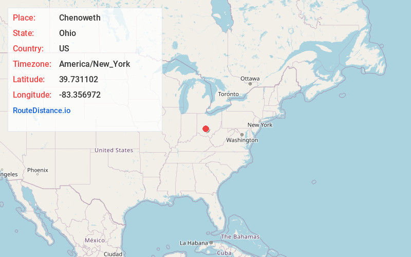
Full AddressChenoweth, OH 43143
-
Coordinates39.731102, -83.356972
-
LocationChenoweth , Ohio , US
-
TimezoneAmerica/New_York
-
Current Local Time2:01:08 PM America/New_YorkTuesday, June 24, 2025
-
Page Views0
About Chenoweth
Chenoweth is an unincorporated community in Range Township, Madison County, Ohio, United States. It is located along Ohio State Route 323 between McClimansville and Range.
Chenoweth was never platted. The community has the name of John Chenoweth, a pioneer settler.
Nearby Places
Found 10 places within 50 miles

Range
3.6 mi
5.8 km
Range, OH 43143
Get directions
McClimansville
4.5 mi
7.2 km
McClimansville, Pleasant Township, OH 43143
Get directions
Burr Oaks Heights
4.6 mi
7.4 km
Burr Oaks Heights, OH 43143
Get directions

Mt Sterling
4.9 mi
7.9 km
Mt Sterling, OH 43143
Get directions
Madison Mills
5.4 mi
8.7 km
Madison Mills, Madison Township, OH 43143
Get directions
Kiousville
5.6 mi
9.0 km
Kiousville, Fairfield Township, OH 43140
Get directions
Yatesville
6.1 mi
9.8 km
Yatesville, OH 43106
Get directions
Midway
6.4 mi
10.3 km
Midway, OH
Get directions
Yankeetown
6.7 mi
10.8 km
Yankeetown, OH 43143
Get directions
Chrisman
7.1 mi
11.4 km
Chrisman, Oak Run Township, OH 43140
Get directions
Location Links
Local Weather
Weather Information
Coming soon!
Location Map
Static map view of Chenoweth, Ohio
Browse Places by Distance
Places within specific distances from Chenoweth
Short Distances
Long Distances
Click any distance to see all places within that range from Chenoweth. Distances shown in miles (1 mile ≈ 1.61 kilometers).