Distance to Range, Ohio

Calculating Your Route
Just a moment while we process your request...
Location Information
-
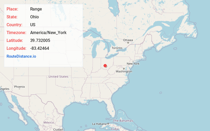
Full AddressRange, OH 43143
-
Coordinates39.7320046, -83.4246402
-
LocationRange , Ohio , US
-
TimezoneAmerica/New_York
-
Current Local Time1:47:41 PM America/New_YorkTuesday, July 1, 2025
-
Page Views0
About Range
Range is an unincorporated community in Range Township, Madison County, Ohio, United States. It is located between Chenoweth and Midway.
The Range Post office was established on September 2, 1872, but was discontinued on December 14, 1905. The mail service is now sent through the London branch.
Nearby Places
Found 10 places within 50 miles

Midway
2.8 mi
4.5 km
Midway, OH
Get directions
Yatesville
4.0 mi
6.4 km
Yatesville, OH 43106
Get directions
Madison Mills
7.1 mi
11.4 km
Madison Mills, Madison Township, OH 43143
Get directions
Burr Oaks Heights
8.1 mi
13.0 km
Burr Oaks Heights, OH 43143
Get directions
McClimansville
8.1 mi
13.0 km
McClimansville, Pleasant Township, OH 43143
Get directions
Kiousville
8.2 mi
13.2 km
Kiousville, Fairfield Township, OH 43140
Get directions

Mt Sterling
8.5 mi
13.7 km
Mt Sterling, OH 43143
Get directions
Bloomingburg
8.9 mi
14.3 km
Bloomingburg, OH 43106
Get directions

Jeffersonville
9.1 mi
14.6 km
Jeffersonville, OH
Get directions
Yankeetown
9.6 mi
15.4 km
Yankeetown, OH 43143
Get directions
Location Links
Local Weather
Weather Information
Coming soon!
Location Map
Static map view of Range, Ohio
Browse Places by Distance
Places within specific distances from Range
Short Distances
Long Distances
Click any distance to see all places within that range from Range. Distances shown in miles (1 mile ≈ 1.61 kilometers).