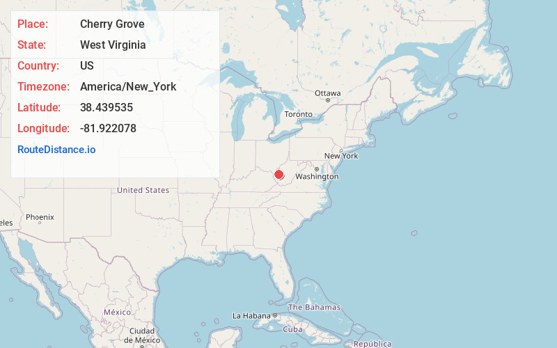
Distance to Cherry Grove, West Virginia

Calculating Your Route
Just a moment while we process your request...
Location Information
-
Full AddressCherry Grove, Scott Depot, WV 25560
-
Coordinates38.4395352, -81.922078
-
NeighborhoodScott Depot
-
LocationScott Depot , West Virginia , US
-
TimezoneAmerica/New_York
-
Current Local Time9:41:52 PM America/New_YorkFriday, June 6, 2025
-
Page Views0
About Cherry Grove
Cherry Grove is an unincorporated community in Putnam County, West Virginia, United States.
Nearby Places
Found 10 places within 50 miles

Teays Valley
0.8 mi
1.3 km
Teays Valley, WV
Get directions

Nitro
4.6 mi
7.4 km
Nitro, WV
Get directions

Hurricane
5.3 mi
8.5 km
Hurricane, WV
Get directions

Ortin Heights
5.7 mi
9.2 km
Ortin Heights, Poca, WV 25143
Get directions

Poca
6.3 mi
10.1 km
Poca, WV
Get directions
Bancroft
6.6 mi
10.6 km
Bancroft, WV
Get directions

Winfield
6.7 mi
10.8 km
Winfield, WV 25213
Get directions

Eleanor
6.8 mi
10.9 km
Eleanor, WV
Get directions

St Albans
7.0 mi
11.3 km
St Albans, WV 25177
Get directions

Cross Lanes
7.2 mi
11.6 km
Cross Lanes, WV
Get directions
Location Links
Local Weather
Weather Information
Coming soon!
Location Map
Static map view of Cherry Grove, West Virginia
Browse Places by Distance
Places within specific distances from Cherry Grove
Short Distances
Long Distances
Click any distance to see all places within that range from Cherry Grove. Distances shown in miles (1 mile ≈ 1.61 kilometers).