Distance to Chestatee, Georgia

Calculating Your Route
Just a moment while we process your request...
Location Information
-
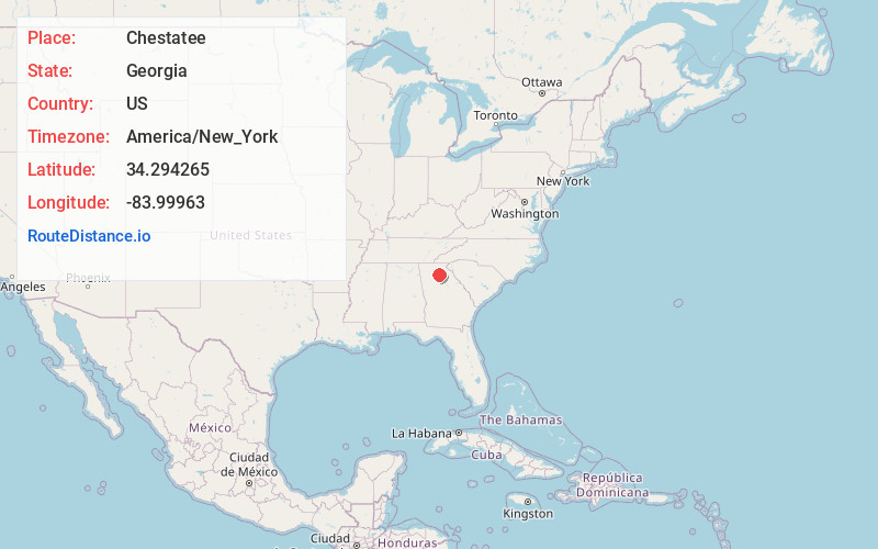
Full AddressChestatee, GA 30506
-
Coordinates34.294265, -83.9996296
-
LocationChestatee , Georgia , US
-
TimezoneAmerica/New_York
-
Current Local Time11:10:37 PM America/New_YorkSaturday, May 17, 2025
-
Page Views0
About Chestatee
Chestatee is an unincorporated community in northeastern Forsyth County, Georgia, United States, due west of the confluence of the Chestatee River into the Chattahoochee River. Originally a Cherokee settlement, it was called Atsunsta Ti Yi.
Nearby Places
Found 10 places within 50 miles

Coal Mountain
6.0 mi
9.7 km
Coal Mountain, GA 30040
Get directions

Oakwood
8.0 mi
12.9 km
Oakwood, GA
Get directions
Dunn
8.2 mi
13.2 km
Dunn, GA 30040
Get directions

Flowery Branch
8.7 mi
14.0 km
Flowery Branch, GA
Get directions
Matt
8.8 mi
14.2 km
Matt, GA 30040
Get directions
Westside
9.1 mi
14.6 km
Westside, GA 30501
Get directions
Chicopee
9.4 mi
15.1 km
Chicopee, GA 30504
Get directions

Gainesville
10.0 mi
16.1 km
Gainesville, GA
Get directions

Cumming
10.0 mi
16.1 km
Cumming, GA
Get directions

Murrayville
10.1 mi
16.3 km
Murrayville, GA 30564
Get directions
Location Links
Local Weather
Weather Information
Coming soon!
Location Map
Static map view of Chestatee, Georgia
Browse Places by Distance
Places within specific distances from Chestatee
Short Distances
Long Distances
Click any distance to see all places within that range from Chestatee. Distances shown in miles (1 mile ≈ 1.61 kilometers).