Distance to Chloride, Arizona

Calculating Your Route
Just a moment while we process your request...
Location Information
-
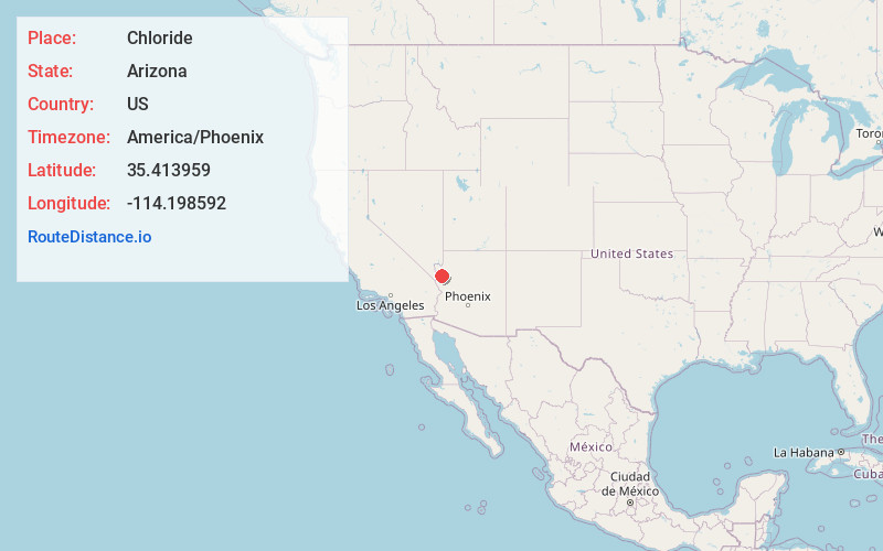
Full AddressChloride, AZ
-
Coordinates35.4139585, -114.1985922
-
LocationChloride , Arizona , US
-
TimezoneAmerica/Phoenix
-
Current Local Time9:38:52 AM America/PhoenixMonday, June 23, 2025
-
Page Views0
About Chloride
Chloride is a onetime silver mining camp in Mohave County, Arizona, United States, and is considered the oldest continuously inhabited mining town in the state. The town is a census-designated place, with a population at the 2020 census of 229. Chloride has a ZIP Code of 86431.


Nearby Places
Found 10 places within 50 miles

Dolan Springs
12.9 mi
20.8 km
Dolan Springs, AZ 86441
Get directions

Golden Valley
13.2 mi
21.2 km
Golden Valley, AZ 86413
Get directions

New Kingman-Butler
14.7 mi
23.7 km
New Kingman-Butler, AZ 86409
Get directions

Kingman
17.5 mi
28.2 km
Kingman, AZ
Get directions

Hackberry
26.7 mi
43.0 km
Hackberry, AZ 86411
Get directions

Bullhead City
26.8 mi
43.1 km
Bullhead City, AZ
Get directions

Laughlin
27.1 mi
43.6 km
Laughlin, NV 89029
Get directions

Fort Mohave
34.9 mi
56.2 km
Fort Mohave, AZ
Get directions

Mesquite Creek
37.3 mi
60.0 km
Mesquite Creek, AZ 86440
Get directions

Mohave Valley
39.9 mi
64.2 km
Mohave Valley, AZ 86440
Get directions
Location Links
Local Weather
Weather Information
Coming soon!
Location Map
Static map view of Chloride, Arizona
Browse Places by Distance
Places within specific distances from Chloride
Short Distances
Long Distances
Click any distance to see all places within that range from Chloride. Distances shown in miles (1 mile ≈ 1.61 kilometers).