Distance to Chocolay Twp, Michigan

Calculating Your Route
Just a moment while we process your request...
Location Information
-
Full AddressChocolay Twp, MI
-
Coordinates46.4923873, -87.3553571
-
LocationChocolay Twp , Michigan , US
-
TimezoneAmerica/Detroit
-
Current Local Time3:36:42 PM America/DetroitFriday, June 20, 2025
-
Page Views0
About Chocolay Twp
Chocolay Township is a charter township in Marquette County in the U.S. state of Michigan. The population was 5,899 at the 2020 census. The township is named for the Chocolay River and is located on the shore of Lake Superior.


Nearby Places
Found 10 places within 50 miles

Harvey
0.0 mi
0.0 km
Harvey, MI 49855
Get directions

Marquette
4.0 mi
6.4 km
Marquette, MI 49855
Get directions
Sands
5.6 mi
9.0 km
Sands, MI 49841
Get directions
Gentian
6.8 mi
10.9 km
Gentian, MI 49855
Get directions
Yalmar
8.1 mi
13.0 km
Yalmar, MI 49885
Get directions
Eagle Mills
8.6 mi
13.8 km
Eagle Mills, MI 49866
Get directions
New Dalton
10.2 mi
16.4 km
New Dalton, MI 49885
Get directions

K. I. Sawyer AFB
11.2 mi
18.0 km
K. I. Sawyer AFB, MI
Get directions
Sand River
11.4 mi
18.3 km
Sand River, MI 49822
Get directions
Plains
11.8 mi
19.0 km
Plains, Forsyth Township, MI 49841
Get directions
Location Links
Local Weather
Weather Information
Coming soon!
Location Map
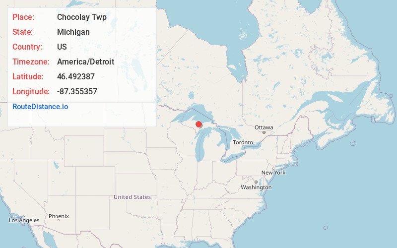
Static map view of Chocolay Twp, Michigan
Browse Places by Distance
Places within specific distances from Chocolay Twp
Short Distances
Long Distances
Click any distance to see all places within that range from Chocolay Twp. Distances shown in miles (1 mile ≈ 1.61 kilometers).