Distance to Sands, Michigan

Calculating Your Route
Just a moment while we process your request...
Location Information
-
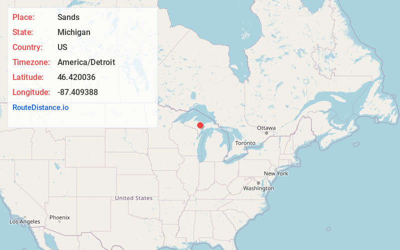
Full AddressSands, MI 49841
-
Coordinates46.420036, -87.409388
-
LocationSands , Michigan , US
-
TimezoneAmerica/Detroit
-
Current Local Time7:41:15 AM America/DetroitMonday, June 2, 2025
-
Page Views0
About Sands
Sands is an unincorporated community in Marquette County in the U.S. state of Michigan. The community is located within Sands Township. As an unincorporated community, Sands has no legally defined boundaries or population statistics of its own.
Nearby Places
Found 10 places within 50 miles

Harvey
5.6 mi
9.0 km
Harvey, MI 49855
Get directions

K. I. Sawyer AFB
6.6 mi
10.6 km
K. I. Sawyer AFB, MI
Get directions
Swanzy
8.3 mi
13.4 km
Swanzy, MI 49885
Get directions

Marquette
8.6 mi
13.8 km
Marquette, MI 49855
Get directions
Eagle Mills
8.7 mi
14.0 km
Eagle Mills, MI 49866
Get directions
Palmer
8.9 mi
14.3 km
Palmer, MI
Get directions
Princeton
9.6 mi
15.4 km
Princeton, MI 49841
Get directions

Little Lake
9.6 mi
15.4 km
Little Lake, MI 49841
Get directions

Gwinn
9.7 mi
15.6 km
Gwinn, MI 49841
Get directions
Cedar Bank
10.9 mi
17.5 km
Cedar Bank, MI 49885
Get directions
Location Links
Local Weather
Weather Information
Coming soon!
Location Map
Static map view of Sands, Michigan
Browse Places by Distance
Places within specific distances from Sands
Short Distances
Long Distances
Click any distance to see all places within that range from Sands. Distances shown in miles (1 mile ≈ 1.61 kilometers).