Distance to Eagle Mills, Michigan

Calculating Your Route
Just a moment while we process your request...
Location Information
-
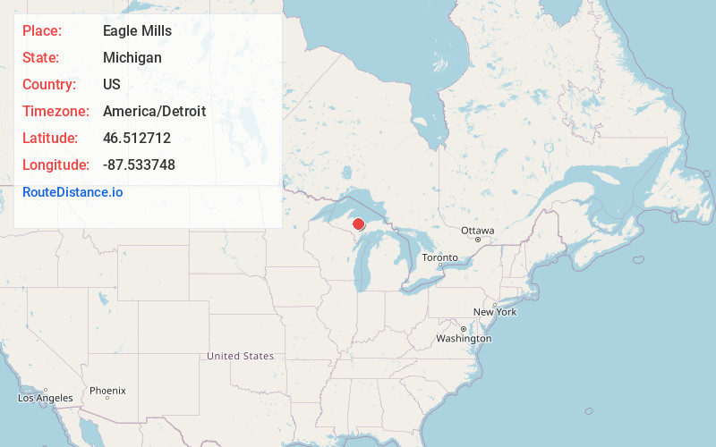
Full AddressEagle Mills, MI 49866
-
Coordinates46.5127124, -87.5337479
-
LocationEagle Mills , Michigan , US
-
TimezoneAmerica/Detroit
-
Current Local Time12:23:51 PM America/DetroitTuesday, June 24, 2025
-
Page Views0
Nearby Places
Found 10 places within 50 miles

Negaunee
3.5 mi
5.6 km
Negaunee, MI 49866
Get directions

Palmer
5.8 mi
9.3 km
Palmer, MI
Get directions

Ishpeming
6.6 mi
10.6 km
Ishpeming, MI 49849
Get directions

Marquette
6.9 mi
11.1 km
Marquette, MI 49855
Get directions
Harvey
8.6 mi
13.8 km
Harvey, MI 49855
Get directions
West Ishpeming
8.8 mi
14.2 km
West Ishpeming, MI 49849
Get directions
South Greenwood
12.3 mi
19.8 km
South Greenwood, MI 49814
Get directions

Black River Falls
14.4 mi
23.2 km
Black River Falls, Ely Township, MI 49849
Get directions

K. I. Sawyer AFB
15.0 mi
24.1 km
K. I. Sawyer AFB, MI
Get directions
Princeton
15.7 mi
25.3 km
Princeton, MI 49841
Get directions
Location Links
Local Weather
Weather Information
Coming soon!
Location Map
Static map view of Eagle Mills, Michigan
Browse Places by Distance
Places within specific distances from Eagle Mills
Short Distances
Long Distances
Click any distance to see all places within that range from Eagle Mills. Distances shown in miles (1 mile ≈ 1.61 kilometers).