Distance to Chopin, Louisiana

Calculating Your Route
Just a moment while we process your request...
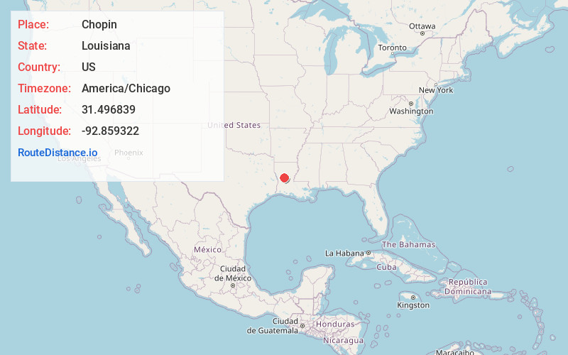
Location Information
-
Full AddressChopin, LA 71447
-
Coordinates31.4968389, -92.8593222
-
LocationChopin , Louisiana , US
-
TimezoneAmerica/Chicago
-
Current Local Time8:19:20 AM America/ChicagoSunday, June 29, 2025
-
Page Views0
About Chopin
Chopin is an unincorporated community in Natchitoches Parish, Louisiana, United States. It is located approximately 19 miles southeast of Natchitoches, and Interstate 49 intersects Louisiana Highway 490 near this community. It was named after Kate Chopin an author of short stories.

Nearby Places
Found 10 places within 50 miles

Fern
2.3 mi
3.7 km
Fern, LA 71416
Get directions
Janie
2.9 mi
4.7 km
Janie, LA 71447
Get directions
Sampusand
3.2 mi
5.1 km
Sampusand, LA 71447
Get directions
Galbraith Oil Field
4.5 mi
7.2 km
Galbraith Oil Field, Louisiana 71447
Get directions
Cloutierville
4.7 mi
7.6 km
Cloutierville, LA 71416
Get directions
Marco
5.6 mi
9.0 km
Marco, LA 71447
Get directions
Lena
5.8 mi
9.3 km
Lena, LA 71447
Get directions
Flatwoods
6.5 mi
10.5 km
Flatwoods, LA 71427
Get directions
Gorum
6.6 mi
10.6 km
Gorum, LA 71447
Get directions
Odra
7.1 mi
11.4 km
Odra, LA 71416
Get directions
Location Links
Local Weather
Weather Information
Coming soon!
Location Map
Static map view of Chopin, Louisiana
Browse Places by Distance
Places within specific distances from Chopin
Short Distances
Long Distances
Click any distance to see all places within that range from Chopin. Distances shown in miles (1 mile ≈ 1.61 kilometers).